NNA Nana, Peru - Earthquake Result Viewer
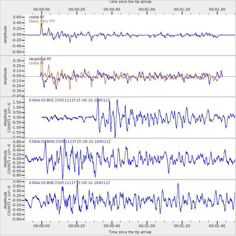
Earthquake location: South Sandwich Islands Region
Earthquake latitude/longitude: -55.7/-27.1
Earthquake time(UTC): 2005/11/11 (315) 14:58:50 GMT
Earthquake Depth: 29 km
Earthquake Magnitude: 5.7 MB, 5.4 MS, 5.9 MW, 5.8 MW
Earthquake Catalog/Contributor: WHDF/NEIC
Network: II Global Seismograph Network (GSN - IRIS/IDA)
Station: NNA Nana, Peru
Lat/Lon: 11.99 S/76.84 W
Elevation: 575 m
Distance: 58.1 deg
Az: 298.402 deg
Baz: 149.406 deg
Ray Param: 0.06299098
Estimated Moho Depth: 27.25 km
Estimated Crust Vp/Vs: 1.97
Assumed Crust Vp: 6.472 km/s
Estimated Crust Vs: 3.281 km/s
Estimated Crust Poisson's Ratio: 0.33
Radial Match: 82.48937 %
Radial Bump: 400
Transverse Match: 70.23374 %
Transverse Bump: 400
SOD ConfigId: 2422
Insert Time: 2010-03-01 19:48:20.635 +0000
GWidth: 2.5
Max Bumps: 400
Tol: 0.001

Signal To Noise

ChannelStoNSTALTA
II:NNA:00:BHN:20051111T15:08:10.184011Z3.68456913.5237844E-79.563627E-8
II:NNA:00:BHE:20051111T15:08:10.184011Z1.391421.6580141E-71.1915985E-7
II:NNA:00:BHZ:20051111T15:08:10.184011Z5.7900977.856864E-71.3569485E-7
Arrivals
Ps4.3 SECOND
PpPs12 SECOND
PsPs/PpSs16 SECOND