MVL Millersville University, PA - Earthquake Result Viewer
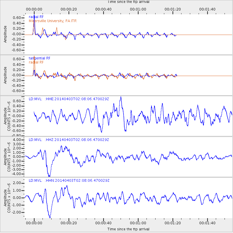
Earthquake location: Near Coast Of Northern Chile
Earthquake latitude/longitude: -20.3/-70.6
Earthquake time(UTC): 2014/04/03 (093) 01:58:31 GMT
Earthquake Depth: 23 km
Earthquake Magnitude: 6.5 MWW, 6.5 MWB, 6.6 MWC
Earthquake Catalog/Contributor: NEIC PDE/NEIC COMCAT
Network: LD Lamont-Doherty Cooperative Seismographic Network
Station: MVL Millersville University, PA
Lat/Lon: 40.00 N/76.35 W
Elevation: 91 m
Distance: 60.2 deg
Az: 354.872 deg
Baz: 173.729 deg
Ray Param: 0.06166179
Estimated Moho Depth: 68.5 km
Estimated Crust Vp/Vs: 2.03
Assumed Crust Vp: 6.419 km/s
Estimated Crust Vs: 3.162 km/s
Estimated Crust Poisson's Ratio: 0.34
Radial Match: 88.025475 %
Radial Bump: 375
Transverse Match: 78.76597 %
Transverse Bump: 400
SOD ConfigId: 626651
Insert Time: 2014-04-22 03:33:47.402 +0000
GWidth: 2.5
Max Bumps: 400
Tol: 0.001

Signal To Noise

ChannelStoNSTALTA
LD:MVL: :HHZ:20140403T02:08:06.470029Z3.03291087.917566E-72.6105502E-7
LD:MVL: :HHN:20140403T02:08:06.470029Z1.52143594.509944E-72.964268E-7
LD:MVL: :HHE:20140403T02:08:06.470029Z1.51406371.8705005E-71.2354172E-7
Arrivals
Ps11 SECOND
PpPs31 SECOND
PsPs/PpSs42 SECOND