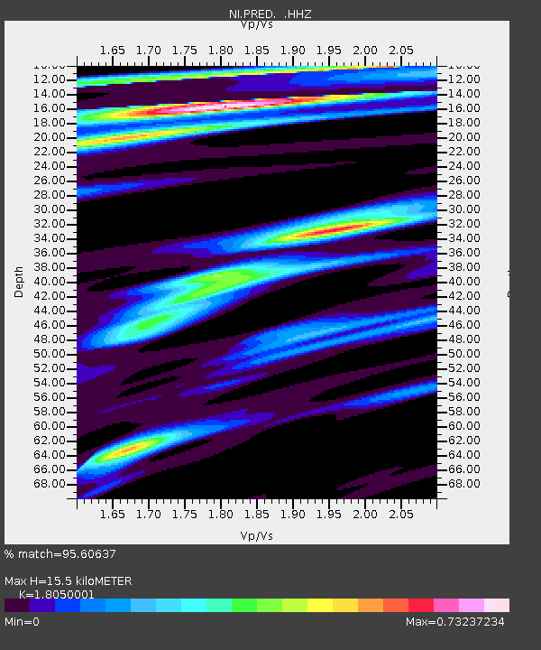
PRED Cave del Predil - Earthquake Result Viewer

Earthquake location: Guerrero, Mexico
Earthquake latitude/longitude: 17.6/-100.8
Earthquake time(UTC): 2014/04/18 (108) 14:27:26 GMT
Earthquake Depth: 24 km
Earthquake Magnitude: 7.2 MWW, 7.0 MWB, 7.3 MWC, 7.5 MI
Earthquake Catalog/Contributor: NEIC PDE/NEIC COMCAT
Network: NI North-East Italy Broadband Network
Station: PRED Cave del Predil
Lat/Lon: 46.44 N/13.56 E
Elevation: 879 m
Distance: 93.2 deg
Az: 39.111 deg
Baz: 299.506 deg
Ray Param: 0.041301493
Estimated Moho Depth: 15.5 km
Estimated Crust Vp/Vs: 1.81
Assumed Crust Vp: 6.35 km/s
Estimated Crust Vs: 3.518 km/s
Estimated Crust Poisson's Ratio: 0.28
Radial Match: 95.60637 %
Radial Bump: 372
Transverse Match: 92.92649 %
Transverse Bump: 400
SOD ConfigId: 626651
Insert Time: 2014-05-02 14:58:01.762 +0000
GWidth: 2.5
Max Bumps: 400
Tol: 0.001

Signal To Noise

ChannelStoNSTALTA
NI:PRED: :HHZ:20140418T14:40:07.27803Z23.0677363.0240074E-61.310925E-7
NI:PRED: :HHN:20140418T14:40:07.27803Z2.00356411.4756539E-77.365144E-8
NI:PRED: :HHE:20140418T14:40:07.27803Z11.2214098.646045E-77.704955E-8
Arrivals
Ps2.0 SECOND
PpPs6.7 SECOND
PsPs/PpSs8.7 SECOND