LUPA Lehigh University, PA - Earthquake Result Viewer
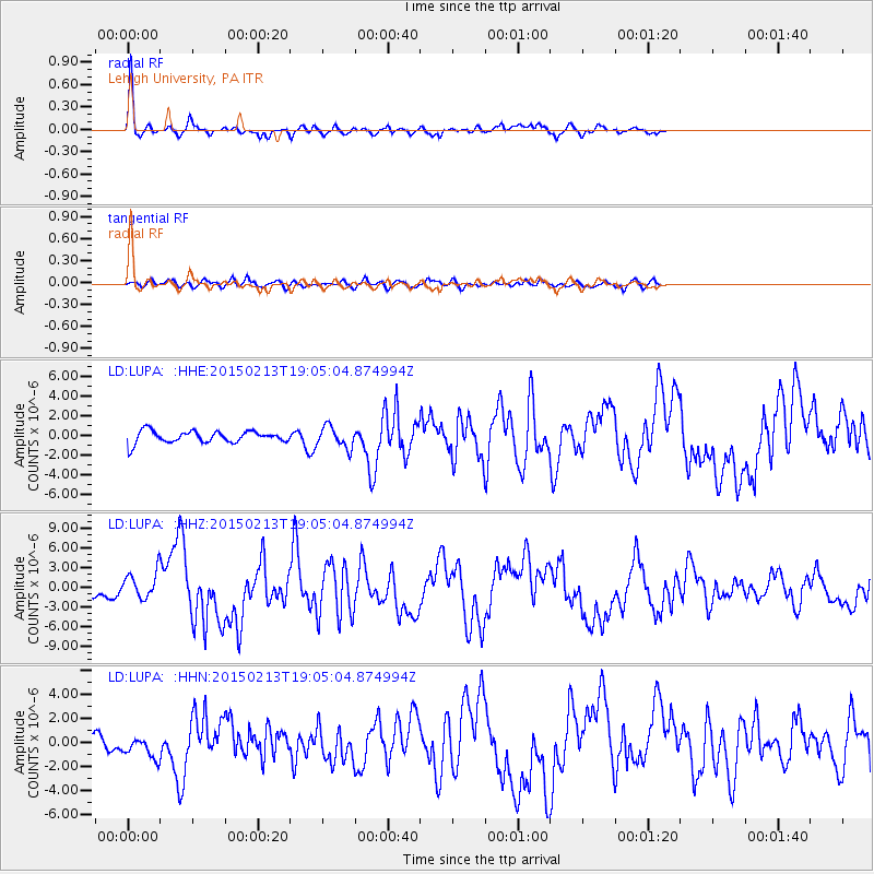
Earthquake location: Northern Mid-Atlantic Ridge
Earthquake latitude/longitude: 52.6/-31.9
Earthquake time(UTC): 2015/02/13 (044) 18:59:12 GMT
Earthquake Depth: 16 km
Earthquake Magnitude: 7.1 MWW, 6.8 MI, 7.0 MWB, 7.0 MWC, 7.1 MWC
Earthquake Catalog/Contributor: NEIC PDE/NEIC COMCAT
Network: LD Lamont-Doherty Cooperative Seismographic Network
Station: LUPA Lehigh University, PA
Lat/Lon: 40.60 N/75.37 W
Elevation: 236 m
Distance: 31.7 deg
Az: 265.318 deg
Baz: 52.914 deg
Ray Param: 0.078944124
Estimated Moho Depth: 69.0 km
Estimated Crust Vp/Vs: 1.77
Assumed Crust Vp: 6.283 km/s
Estimated Crust Vs: 3.55 km/s
Estimated Crust Poisson's Ratio: 0.27
Radial Match: 84.11554 %
Radial Bump: 297
Transverse Match: 60.28958 %
Transverse Bump: 400
SOD ConfigId: 7019011
Insert Time: 2019-04-16 19:26:27.561 +0000
GWidth: 2.5
Max Bumps: 400
Tol: 0.001

Signal To Noise

ChannelStoNSTALTA
LD:LUPA: :HHZ:20150213T19:05:04.874994Z2.60162022.0583127E-67.911657E-7
LD:LUPA: :HHN:20150213T19:05:04.874994Z1.32248138.822853E-76.6714387E-7
LD:LUPA: :HHE:20150213T19:05:04.874994Z1.85991861.1277854E-66.063628E-7
Arrivals
Ps9.1 SECOND
PpPs28 SECOND
PsPs/PpSs37 SECOND