JFS4 JFS4 - Earthquake Result Viewer
Earthquake location: Northern Mid-Atlantic Ridge
Earthquake latitude/longitude: 52.6/-31.9
Earthquake time(UTC): 2015/02/13 (044) 18:59:12 GMT
Earthquake Depth: 16 km
Earthquake Magnitude: 7.1 MWW, 6.8 MI, 7.0 MWB, 7.0 MWC, 7.1 MWC
Earthquake Catalog/Contributor: NEIC PDE/NEIC COMCAT
Network: YN San Jacinto Fault Zone
Station: JFS4 JFS4
Lat/Lon: 33.42 N/116.40 W
Elevation: 645 m
Distance: 61.1 deg
Az: 288.02 deg
Baz: 43.868 deg
Ray Param: 0.061082393
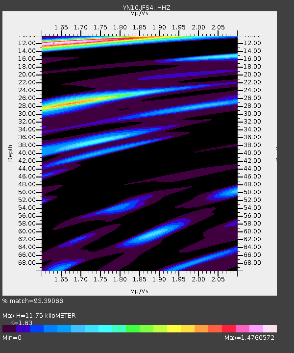
Estimated Moho Depth: 11.75 km
Estimated Crust Vp/Vs: 1.63
Assumed Crust Vp: 6.264 km/s
Estimated Crust Vs: 3.843 km/s
Estimated Crust Poisson's Ratio: 0.20
Radial Match: 93.39066 %
Radial Bump: 378
Transverse Match: 80.70714 %
Transverse Bump: 400
SOD ConfigId: 7019011
Insert Time: 2019-04-16 19:35:19.805 +0000
GWidth: 2.5
Max Bumps: 400
Tol: 0.001

Signal To Noise

ChannelStoNSTALTA
YN:JFS4: :HHZ:20150213T19:08:55.193994Z1.53740423.7299662E-72.4261453E-7
YN:JFS4: :HHN:20150213T19:08:55.193994Z0.670378741.5809718E-72.3583263E-7
YN:JFS4: :HHE:20150213T19:08:55.193994Z0.82327982.4437827E-72.9683503E-7
Arrivals
Ps1.2 SECOND
PpPs4.7 SECOND
PsPs/PpSs5.9 SECOND