You are here: Home > Network List > US - United States National Seismic Network Stations List
> Station EGMT Eagleton, Montana, USA > Earthquake Result Viewer
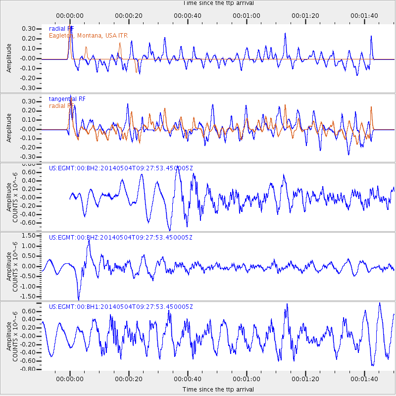
EGMT Eagleton, Montana, USA - Earthquake Result Viewer
*The percent match for this event was below the threshold and hence no stack was calculated.
| Earthquake location: |
South Of Fiji Islands |
| Earthquake latitude/longitude: |
-24.6/179.1 |
| Earthquake time(UTC): |
2014/05/04 (124) 09:15:53 GMT |
| Earthquake Depth: |
528 km |
| Earthquake Magnitude: |
6.6 MWP, 6.8 MI |
| Earthquake Catalog/Contributor: |
NEIC PDE/NEIC COMCAT |
|
| Network: |
US United States National Seismic Network |
| Station: |
EGMT Eagleton, Montana, USA |
| Lat/Lon: |
48.02 N/109.75 W |
| Elevation: |
1055 m |
|
| Distance: |
96.3 deg |
| Az: |
39.734 deg |
| Baz: |
240.055 deg |
| Ray Param: |
$rayparam |
*The percent match for this event was below the threshold and hence was not used in the summary stack. |
|
| Radial Match: |
56.14574 % |
| Radial Bump: |
400 |
| Transverse Match: |
52.80134 % |
| Transverse Bump: |
363 |
| SOD ConfigId: |
626651 |
| Insert Time: |
2014-05-18 10:05:34.599 +0000 |
| GWidth: |
2.5 |
| Max Bumps: |
400 |
| Tol: |
0.001 |
|
Signal To Noise
| Channel | StoN | STA | LTA |
| US:EGMT:00:BHZ:20140504T09:27:53.450005Z | 3.4239616 | 6.423937E-7 | 1.8761708E-7 |
| US:EGMT:00:BH1:20140504T09:27:53.450005Z | 0.5695007 | 1.7217458E-7 | 3.0232547E-7 |
| US:EGMT:00:BH2:20140504T09:27:53.450005Z | 2.2357924 | 4.2516803E-7 | 1.9016436E-7 |
| Arrivals |
| Ps | |
| PpPs | |
| PsPs/PpSs | |


