KURK Kurchatov, Kazakhstan - Earthquake Result Viewer
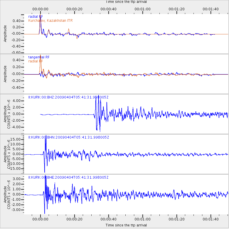
Earthquake location: Philippine Islands Region
Earthquake latitude/longitude: 5.1/127.2
Earthquake time(UTC): 2009/04/04 (094) 05:31:55 GMT
Earthquake Depth: 48 km
Earthquake Magnitude: 6.1 MB, 5.8 MS, 6.3 MW, 6.2 MW
Earthquake Catalog/Contributor: WHDF/NEIC
Network: II Global Seismograph Network (GSN - IRIS/IDA)
Station: KURK Kurchatov, Kazakhstan
Lat/Lon: 50.72 N/78.62 E
Elevation: 184 m
Distance: 60.8 deg
Az: 326.902 deg
Baz: 121.179 deg
Ray Param: 0.061180558
Estimated Moho Depth: 41.25 km
Estimated Crust Vp/Vs: 1.74
Assumed Crust Vp: 6.552 km/s
Estimated Crust Vs: 3.766 km/s
Estimated Crust Poisson's Ratio: 0.25
Radial Match: 97.96293 %
Radial Bump: 291
Transverse Match: 92.4031 %
Transverse Bump: 400
SOD ConfigId: 2658
Insert Time: 2010-03-01 21:54:33.099 +0000
GWidth: 2.5
Max Bumps: 400
Tol: 0.001

Signal To Noise

ChannelStoNSTALTA
II:KURK:00:BHN:20090404T05:41:31.998005Z136.611456.4408755E-64.7147402E-8
II:KURK:00:BHE:20090404T05:41:31.998005Z30.8514841.3394407E-64.3415763E-8
II:KURK:00:BHZ:20090404T05:41:31.998005Z40.6240962.3822213E-65.86406E-8
Arrivals
Ps4.9 SECOND
PpPs16 SECOND
PsPs/PpSs21 SECOND