KURK Kurchatov, Kazakhstan - Earthquake Result Viewer
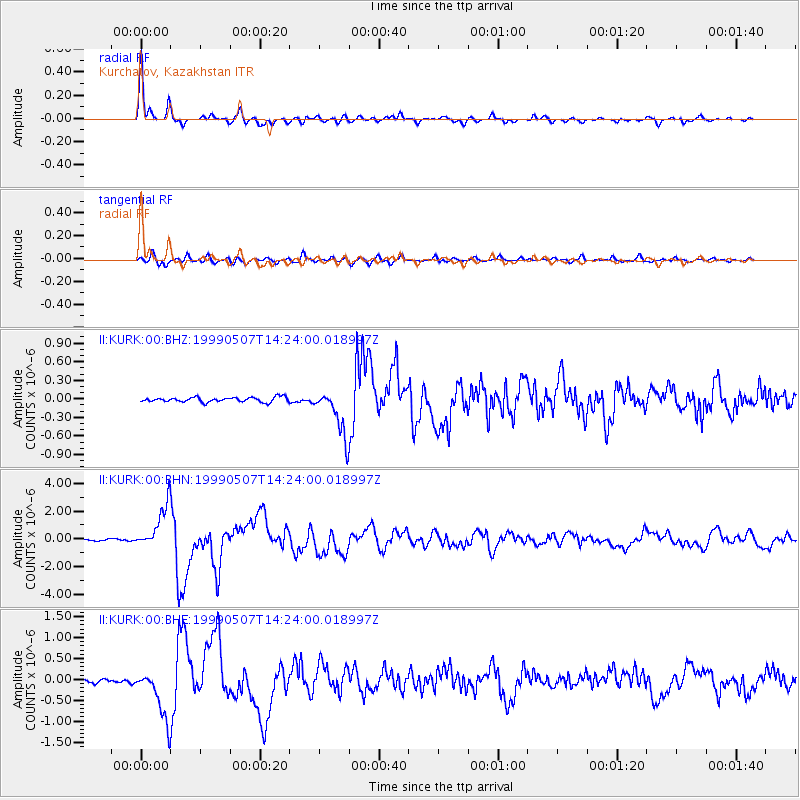
Earthquake location: Kodiak Island Region, Alaska
Earthquake latitude/longitude: 56.4/-152.9
Earthquake time(UTC): 1999/05/07 (127) 14:13:52 GMT
Earthquake Depth: 20 km
Earthquake Magnitude: 5.7 MB, 6.1 MS, 6.4 MW, 5.7 ME
Earthquake Catalog/Contributor: WHDF/NEIC
Network: II Global Seismograph Network (GSN - IRIS/IDA)
Station: KURK Kurchatov, Kazakhstan
Lat/Lon: 50.72 N/78.62 E
Elevation: 184 m
Distance: 65.0 deg
Az: 326.684 deg
Baz: 28.695 deg
Ray Param: 0.05851649
Estimated Moho Depth: 42.25 km
Estimated Crust Vp/Vs: 1.70
Assumed Crust Vp: 6.552 km/s
Estimated Crust Vs: 3.854 km/s
Estimated Crust Poisson's Ratio: 0.24
Radial Match: 97.885445 %
Radial Bump: 349
Transverse Match: 87.032936 %
Transverse Bump: 400
SOD ConfigId: 4480
Insert Time: 2010-03-01 21:54:34.508 +0000
GWidth: 2.5
Max Bumps: 400
Tol: 0.001

Signal To Noise

ChannelStoNSTALTA
II:KURK:00:BHN:19990507T14:24:00.018997Z31.5577851.5988686E-65.066479E-8
II:KURK:00:BHE:19990507T14:24:00.018997Z16.8515826.115132E-73.6288178E-8
II:KURK:00:BHZ:19990507T14:24:00.018997Z9.9037233.773188E-73.8098683E-8
Arrivals
Ps4.7 SECOND
PpPs17 SECOND
PsPs/PpSs21 SECOND