KURK Kurchatov, Kazakhstan - Earthquake Result Viewer
Earthquake location: New Britain Region, P.N.G.
Earthquake latitude/longitude: -4.8/151.5
Earthquake time(UTC): 1995/08/14 (226) 04:37:17 GMT
Earthquake Depth: 126 km
Earthquake Magnitude: 6.3 MB, 6.3 MS, 6.4 UNKNOWN
Earthquake Catalog/Contributor: WHDF/NEIC
Network: II Global Seismograph Network (GSN - IRIS/IDA)
Station: KURK Kurchatov, Kazakhstan
Lat/Lon: 50.72 N/78.62 E
Elevation: 184 m
Distance: 83.0 deg
Az: 322.256 deg
Baz: 106.355 deg
Ray Param: 0.046212748
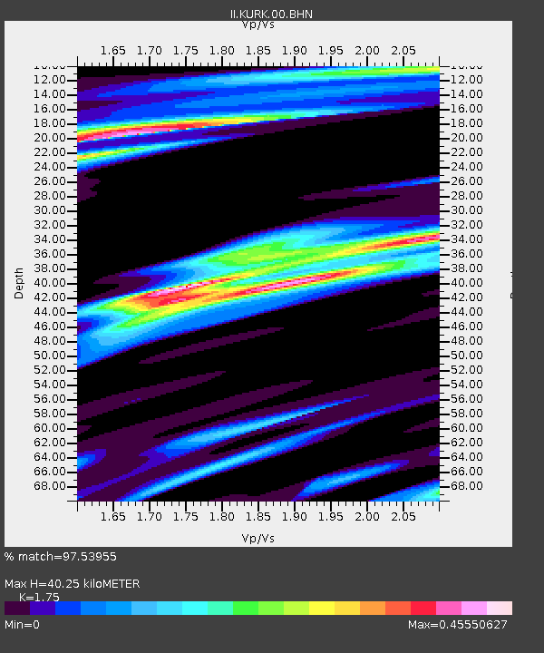
Estimated Moho Depth: 40.25 km
Estimated Crust Vp/Vs: 1.75
Assumed Crust Vp: 6.552 km/s
Estimated Crust Vs: 3.744 km/s
Estimated Crust Poisson's Ratio: 0.26
Radial Match: 97.53955 %
Radial Bump: 247
Transverse Match: 87.58062 %
Transverse Bump: 400
SOD ConfigId: 61242
Insert Time: 2010-03-01 22:12:58.275 +0000
GWidth: 2.5
Max Bumps: 400
Tol: 0.001

Signal To Noise

ChannelStoNSTALTA
II:KURK:00:BHN:19950814T04:48:57.346021Z25.890311.040076E-64.0172402E-8
II:KURK:00:BHE:19950814T04:48:57.346021Z85.100582.8817951E-63.3863405E-8
II:KURK:00:BHZ:19950814T04:48:57.346021Z148.238579.18586E-66.196673E-8
Arrivals
Ps4.7 SECOND
PpPs16 SECOND
PsPs/PpSs21 SECOND