You are here: Home > Network List > AZ - ANZA Regional Network Stations List
> Station SMER AZ.SMER > Earthquake Result Viewer
SMER AZ.SMER - Earthquake Result Viewer
*The percent match for this event was below the threshold and hence no stack was calculated.
| Earthquake location: |
Pacific-Antarctic Ridge |
| Earthquake latitude/longitude: |
-54.3/-146.6 |
| Earthquake time(UTC): |
2014/05/17 (137) 12:13:29 GMT |
| Earthquake Depth: |
10 km |
| Earthquake Magnitude: |
5.9 MWP |
| Earthquake Catalog/Contributor: |
NEIC PDE/NEIC COMCAT |
|
| Network: |
AZ ANZA Regional Network |
| Station: |
SMER AZ.SMER |
| Lat/Lon: |
33.46 N/117.17 W |
| Elevation: |
355 m |
|
| Distance: |
91.0 deg |
| Az: |
24.239 deg |
| Baz: |
196.719 deg |
| Ray Param: |
$rayparam |
*The percent match for this event was below the threshold and hence was not used in the summary stack. |
|
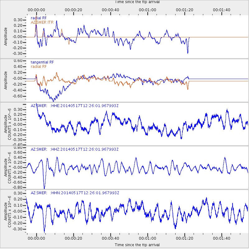
| Radial Match: |
54.82198 % |
| Radial Bump: |
400 |
| Transverse Match: |
68.540596 % |
| Transverse Bump: |
400 |
| SOD ConfigId: |
626651 |
| Insert Time: |
2014-05-31 12:21:30.579 +0000 |
| GWidth: |
2.5 |
| Max Bumps: |
400 |
| Tol: |
0.001 |
|
Signal To Noise
| Channel | StoN | STA | LTA |
| AZ:SMER: :HHZ:20140517T12:26:01.967993Z | 6.570449 | 3.4368625E-7 | 5.2307882E-8 |
| AZ:SMER: :HHN:20140517T12:26:01.967993Z | 1.6147047 | 1.4297821E-7 | 8.854759E-8 |
| AZ:SMER: :HHE:20140517T12:26:01.967993Z | 0.7288215 | 9.2494965E-8 | 1.2691032E-7 |
| Arrivals |
| Ps | |
| PpPs | |
| PsPs/PpSs | |


