
KURK Kurchatov, Kazakhstan - Earthquake Result Viewer

| ||||||||||||||||||
| ||||||||||||||||||
| ||||||||||||||||||
|
Signal To Noise
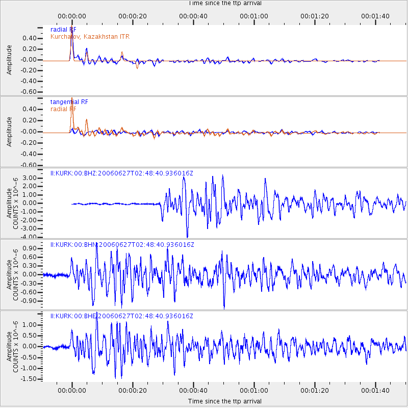
| Channel | StoN | STA | LTA |
| II:KURK:00:BHN:20060627T02:48:40.936016Z | 6.7399087 | 2.630795E-7 | 3.9033097E-8 |
| II:KURK:00:BHE:20060627T02:48:40.936016Z | 10.091842 | 3.7344194E-7 | 3.7004337E-8 |
| II:KURK:00:BHZ:20060627T02:48:40.936016Z | 17.5051 | 8.658392E-7 | 4.946211E-8 |
| Arrivals | |
| Ps | 4.8 SECOND |
| PpPs | 16 SECOND |
| PsPs/PpSs | 21 SECOND |

