ABKT Alibek, Turkmenistan - Earthquake Result Viewer
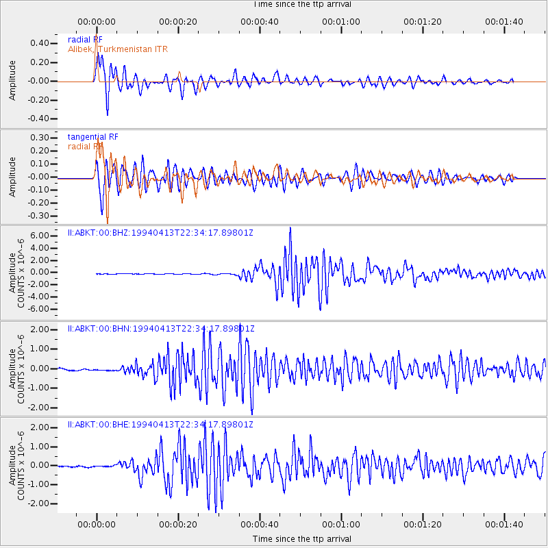
Earthquake location: Irian Jaya Region, Indonesia
Earthquake latitude/longitude: -3.1/136.0
Earthquake time(UTC): 1994/04/13 (103) 22:22:29 GMT
Earthquake Depth: 20 km
Earthquake Magnitude: 6.0 MB, 6.5 MS, 6.5 UNKNOWN, 6.5 MW
Earthquake Catalog/Contributor: WHDF/NEIC
Network: II Global Seismograph Network (GSN - IRIS/IDA)
Station: ABKT Alibek, Turkmenistan
Lat/Lon: 37.93 N/58.12 E
Elevation: 678 m
Distance: 82.3 deg
Az: 308.74 deg
Baz: 99.95 deg
Ray Param: 0.046936058
Estimated Moho Depth: 11.5 km
Estimated Crust Vp/Vs: 1.75
Assumed Crust Vp: 6.53 km/s
Estimated Crust Vs: 3.732 km/s
Estimated Crust Poisson's Ratio: 0.26
Radial Match: 96.022194 %
Radial Bump: 398
Transverse Match: 93.32524 %
Transverse Bump: 400
SOD ConfigId: 61242
Insert Time: 2010-03-01 22:48:35.130 +0000
GWidth: 2.5
Max Bumps: 400
Tol: 0.001

Signal To Noise

ChannelStoNSTALTA
II:ABKT:00:BHN:19940413T22:34:17.89801Z0.93061533.1891176E-83.4268915E-8
II:ABKT:00:BHE:19940413T22:34:17.89801Z0.9615313.0754688E-83.1985124E-8
II:ABKT:00:BHZ:19940413T22:34:17.89801Z3.20614221.3399934E-74.179457E-8
Arrivals
Ps1.4 SECOND
PpPs4.7 SECOND
PsPs/PpSs6.1 SECOND