ABKT Alibek, Turkmenistan - Earthquake Result Viewer
Earthquake location: E. Caroline Islands, Micronesia
Earthquake latitude/longitude: 4.1/143.7
Earthquake time(UTC): 1995/08/07 (219) 19:44:24 GMT
Earthquake Depth: 10 km
Earthquake Magnitude: 5.5 MB, 5.7 MS, 5.6 UNKNOWN, 6.4 MW
Earthquake Catalog/Contributor: WHDF/NEIC
Network: II Global Seismograph Network (GSN - IRIS/IDA)
Station: ABKT Alibek, Turkmenistan
Lat/Lon: 37.93 N/58.12 E
Elevation: 678 m
Distance: 84.0 deg
Az: 307.561 deg
Baz: 89.502 deg
Ray Param: 0.045779523
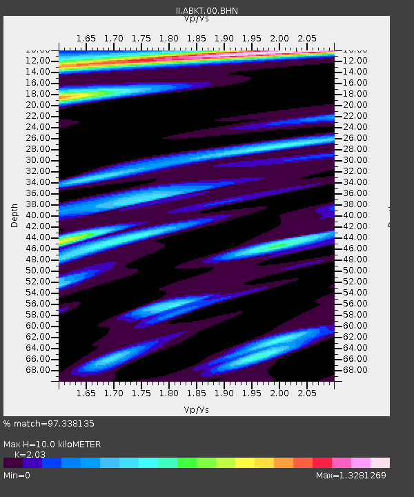
Estimated Moho Depth: 10.0 km
Estimated Crust Vp/Vs: 2.03
Assumed Crust Vp: 6.53 km/s
Estimated Crust Vs: 3.217 km/s
Estimated Crust Poisson's Ratio: 0.34
Radial Match: 97.338135 %
Radial Bump: 400
Transverse Match: 96.577995 %
Transverse Bump: 400
SOD ConfigId: 61242
Insert Time: 2010-03-01 22:50:48.899 +0000
GWidth: 2.5
Max Bumps: 400
Tol: 0.001

Signal To Noise

ChannelStoNSTALTA
II:ABKT:00:BHN:19950807T19:56:23.61001Z1.02573372.5193634E-82.4561574E-8
II:ABKT:00:BHE:19950807T19:56:23.61001Z2.12807514.8417046E-82.2751568E-8
II:ABKT:00:BHZ:19950807T19:56:23.61001Z1.40868936.5029916E-84.6163418E-8
Arrivals
Ps1.6 SECOND
PpPs4.5 SECOND
PsPs/PpSs6.1 SECOND