You are here: Home > Network List > TA - USArray Transportable Network (new EarthScope stations) Stations List
> Station J61A Chester, VT, USA > Earthquake Result Viewer
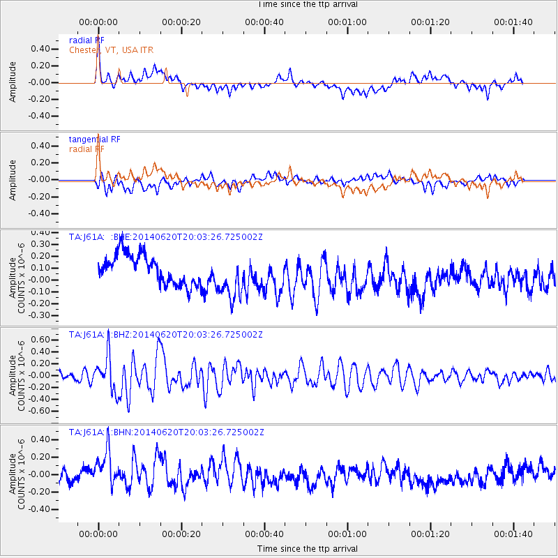
J61A Chester, VT, USA - Earthquake Result Viewer
*The percent match for this event was below the threshold and hence no stack was calculated.
| Earthquake location: |
Near Coast Of Northern Chile |
| Earthquake latitude/longitude: |
-19.8/-70.9 |
| Earthquake time(UTC): |
2014/06/20 (171) 19:53:32 GMT |
| Earthquake Depth: |
14 km |
| Earthquake Magnitude: |
5.5 MB |
| Earthquake Catalog/Contributor: |
NEIC PDE/NEIC COMCAT |
|
| Network: |
TA USArray Transportable Network (new EarthScope stations) |
| Station: |
J61A Chester, VT, USA |
| Lat/Lon: |
43.35 N/72.55 W |
| Elevation: |
253 m |
|
| Distance: |
62.9 deg |
| Az: |
358.617 deg |
| Baz: |
178.214 deg |
| Ray Param: |
$rayparam |
*The percent match for this event was below the threshold and hence was not used in the summary stack. |
|
| Radial Match: |
47.875416 % |
| Radial Bump: |
400 |
| Transverse Match: |
34.452946 % |
| Transverse Bump: |
400 |
| SOD ConfigId: |
739768 |
| Insert Time: |
2014-07-04 20:32:35.196 +0000 |
| GWidth: |
2.5 |
| Max Bumps: |
400 |
| Tol: |
0.001 |
|
Signal To Noise
| Channel | StoN | STA | LTA |
| TA:J61A: :BHZ:20140620T20:03:26.725002Z | 4.5395627 | 3.0673104E-7 | 6.756841E-8 |
| TA:J61A: :BHN:20140620T20:03:26.725002Z | 2.5753667 | 2.853372E-7 | 1.1079479E-7 |
| TA:J61A: :BHE:20140620T20:03:26.725002Z | 1.6073322 | 2.0080468E-7 | 1.2493041E-7 |
| Arrivals |
| Ps | |
| PpPs | |
| PsPs/PpSs | |


