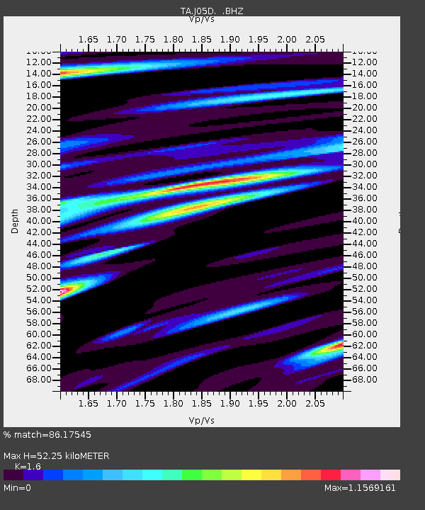
J05D Fort Rock, OR, USA - Earthquake Result Viewer

Earthquake location: Rat Islands, Aleutian Islands
Earthquake latitude/longitude: 52.3/176.7
Earthquake time(UTC): 2014/06/24 (175) 03:15:36 GMT
Earthquake Depth: 4.0 km
Earthquake Magnitude: 6.3 MWB, 5.7 ML, 6.4 MWC, 6.6 MI
Earthquake Catalog/Contributor: NEIC PDE/NEIC COMCAT
Network: TA USArray Transportable Network (new EarthScope stations)
Station: J05D Fort Rock, OR, USA
Lat/Lon: 43.28 N/121.23 W
Elevation: 1541 m
Distance: 41.5 deg
Az: 76.907 deg
Baz: 304.92 deg
Ray Param: 0.07378521
Estimated Moho Depth: 52.25 km
Estimated Crust Vp/Vs: 1.60
Assumed Crust Vp: 6.597 km/s
Estimated Crust Vs: 4.123 km/s
Estimated Crust Poisson's Ratio: 0.18
Radial Match: 86.17545 %
Radial Bump: 400
Transverse Match: 71.01403 %
Transverse Bump: 400
SOD ConfigId: 739768
Insert Time: 2014-07-08 04:14:10.240 +0000
GWidth: 2.5
Max Bumps: 400
Tol: 0.001

Signal To Noise

ChannelStoNSTALTA
TA:J05D: :BHZ:20140624T03:22:53.624993Z6.09496553.9730782E-76.518623E-8
TA:J05D: :BHN:20140624T03:22:53.624993Z1.83716244.3065305E-72.3441208E-7
TA:J05D: :BHE:20140624T03:22:53.624993Z1.13242633.4716342E-73.0656605E-7
Arrivals
Ps5.2 SECOND
PpPs19 SECOND
PsPs/PpSs24 SECOND