RPN Rapanui, Easter Island, Chile - Earthquake Result Viewer
Earthquake location: Off W. Coast Of S. Island, N.Z.
Earthquake latitude/longitude: -46.7/164.7
Earthquake time(UTC): 2004/11/22 (327) 20:26:23 GMT
Earthquake Depth: 10 km
Earthquake Magnitude: 6.4 MB, 7.1 MS, 7.1 MW, 7.0 MW
Earthquake Catalog/Contributor: WHDF/NEIC
Network: II Global Seismograph Network (GSN - IRIS/IDA)
Station: RPN Rapanui, Easter Island, Chile
Lat/Lon: 27.13 S/109.33 W
Elevation: 110 m
Distance: 68.1 deg
Az: 106.692 deg
Baz: 227.734 deg
Ray Param: 0.056496996
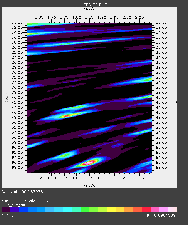
Estimated Moho Depth: 65.75 km
Estimated Crust Vp/Vs: 1.85
Assumed Crust Vp: 4.24 km/s
Estimated Crust Vs: 2.295 km/s
Estimated Crust Poisson's Ratio: 0.29
Radial Match: 89.167076 %
Radial Bump: 400
Transverse Match: 82.25832 %
Transverse Bump: 400
SOD ConfigId: 2459
Insert Time: 2010-03-02 00:05:57.521 +0000
GWidth: 2.5
Max Bumps: 400
Tol: 0.001

Signal To Noise

ChannelStoNSTALTA
II:RPN:00:BHN:20041122T20:36:52.850012Z0.99058171.4116588E-61.4250807E-6
II:RPN:00:BHE:20041122T20:36:52.850012Z1.45141761.4916071E-61.0276898E-6
II:RPN:00:BHZ:20041122T20:36:52.850012Z1.86991743.6487183E-61.9512725E-6
Arrivals
Ps13 SECOND
PpPs43 SECOND
PsPs/PpSs57 SECOND