TAU Hobart, Tasmania, Australia - Earthquake Result Viewer
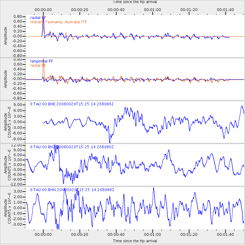
Earthquake location: Kermadec Islands, New Zealand
Earthquake latitude/longitude: -29.8/-177.7
Earthquake time(UTC): 2008/09/29 (273) 15:19:31 GMT
Earthquake Depth: 36 km
Earthquake Magnitude: 6.5 MB, 6.7 MS, 7.0 MW, 7.0 MW
Earthquake Catalog/Contributor: WHDF/NEIC
Network: II Global Seismograph Network (GSN - IRIS/IDA)
Station: TAU Hobart, Tasmania, Australia
Lat/Lon: 42.91 S/147.32 E
Elevation: 132 m
Distance: 30.9 deg
Az: 235.213 deg
Baz: 76.422 deg
Ray Param: 0.07918326
Estimated Moho Depth: 21.5 km
Estimated Crust Vp/Vs: 2.10
Assumed Crust Vp: 6.477 km/s
Estimated Crust Vs: 3.088 km/s
Estimated Crust Poisson's Ratio: 0.35
Radial Match: 81.668 %
Radial Bump: 393
Transverse Match: 66.8494 %
Transverse Bump: 400
SOD ConfigId: 2560
Insert Time: 2010-03-02 00:33:07.326 +0000
GWidth: 2.5
Max Bumps: 400
Tol: 0.001

Signal To Noise

ChannelStoNSTALTA
II:TAU:00:BHZ:20080929T15:25:14.268986Z2.2334654.146771E-61.8566539E-6
II:TAU:00:BHN:20080929T15:25:14.268986Z1.14588021.2760386E-61.1135882E-6
II:TAU:00:BHE:20080929T15:25:14.268986Z1.38513421.8140005E-61.3096208E-6
Arrivals
Ps3.9 SECOND
PpPs9.6 SECOND
PsPs/PpSs14 SECOND