TAU Hobart, Tasmania, Australia - Earthquake Result Viewer
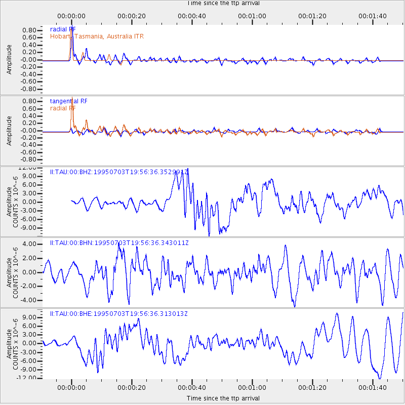
Earthquake location: Kermadec Islands, New Zealand
Earthquake latitude/longitude: -29.2/-177.6
Earthquake time(UTC): 1995/07/03 (184) 19:50:50 GMT
Earthquake Depth: 33 km
Earthquake Magnitude: 6.5 MB, 7.2 MS, 7.2 UNKNOWN, 7.2 MW
Earthquake Catalog/Contributor: WHDF/NEIC
Network: II Global Seismograph Network (GSN - IRIS/IDA)
Station: TAU Hobart, Tasmania, Australia
Lat/Lon: 42.91 S/147.32 E
Elevation: 132 m
Distance: 31.2 deg
Az: 234.482 deg
Baz: 75.609 deg
Ray Param: 0.07909075
Estimated Moho Depth: 36.5 km
Estimated Crust Vp/Vs: 1.83
Assumed Crust Vp: 6.477 km/s
Estimated Crust Vs: 3.544 km/s
Estimated Crust Poisson's Ratio: 0.29
Radial Match: 86.29788 %
Radial Bump: 347
Transverse Match: 45.802826 %
Transverse Bump: 400
SOD ConfigId: 61242
Insert Time: 2010-03-02 00:33:47.361 +0000
GWidth: 2.5
Max Bumps: 400
Tol: 0.001

Signal To Noise

ChannelStoNSTALTA
II:TAU:00:BHN:19950703T19:56:36.343011Z0.84132351.1928722E-61.4178521E-6
II:TAU:00:BHE:19950703T19:56:36.313013Z2.74155833.3810659E-61.2332642E-6
II:TAU:00:BHZ:19950703T19:56:36.352991Z3.93369584.677575E-61.1891044E-6
Arrivals
Ps5.0 SECOND
PpPs15 SECOND
PsPs/PpSs20 SECOND