TAU Hobart, Tasmania, Australia - Earthquake Result Viewer
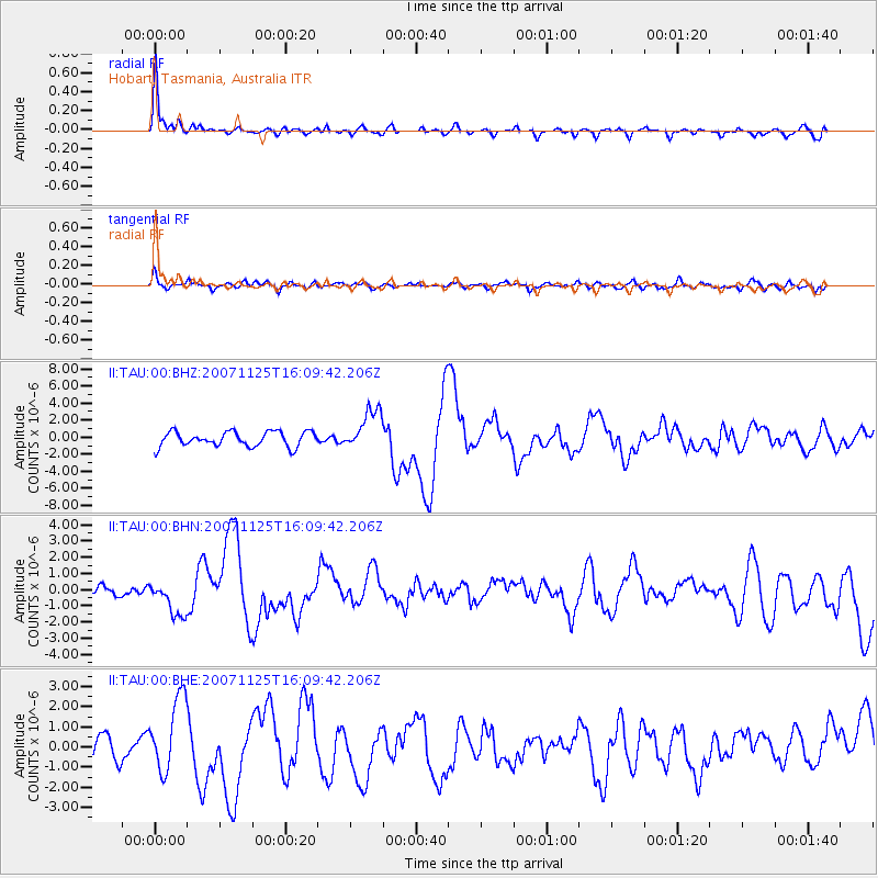
Earthquake location: Sumbawa Region, Indonesia
Earthquake latitude/longitude: -8.3/118.3
Earthquake time(UTC): 2007/11/25 (329) 16:02:17 GMT
Earthquake Depth: 35 km
Earthquake Magnitude: 6.2 MB, 6.3 MS, 6.5 MW, 6.4 MW
Earthquake Catalog/Contributor: WHDF/NEIC
Network: II Global Seismograph Network (GSN - IRIS/IDA)
Station: TAU Hobart, Tasmania, Australia
Lat/Lon: 42.91 S/147.32 E
Elevation: 132 m
Distance: 42.9 deg
Az: 148.438 deg
Baz: 315.162 deg
Ray Param: 0.07285289
Estimated Moho Depth: 33.25 km
Estimated Crust Vp/Vs: 1.65
Assumed Crust Vp: 6.477 km/s
Estimated Crust Vs: 3.919 km/s
Estimated Crust Poisson's Ratio: 0.21
Radial Match: 83.38208 %
Radial Bump: 350
Transverse Match: 63.86534 %
Transverse Bump: 400
SOD ConfigId: 2564
Insert Time: 2010-03-02 00:34:39.210 +0000
GWidth: 2.5
Max Bumps: 400
Tol: 0.001

Signal To Noise

ChannelStoNSTALTA
II:TAU:00:BHN:20071125T16:09:42.206Z2.7282911.0939159E-64.009528E-7
II:TAU:00:BHE:20071125T16:09:42.206Z2.72946881.8645059E-66.831021E-7
II:TAU:00:BHZ:20071125T16:09:42.206Z2.76156352.3995815E-68.689214E-7
Arrivals
Ps3.6 SECOND
PpPs13 SECOND
PsPs/PpSs16 SECOND