AMKA Regional Station, Amchitka Island, Alaska - Earthquake Result Viewer
Earthquake location: E. Caroline Islands, Micronesia
Earthquake latitude/longitude: 0.8/146.1
Earthquake time(UTC): 2014/08/03 (215) 00:22:03 GMT
Earthquake Depth: 11 km
Earthquake Magnitude: 6.9 MWW, 6.8 MWB, 6.9 MWC, 7.2 MI
Earthquake Catalog/Contributor: NEIC PDE/NEIC COMCAT
Network: AV Alaska Volcano Observatory
Station: AMKA Regional Station, Amchitka Island, Alaska
Lat/Lon: 51.38 N/179.30 E
Elevation: 116 m
Distance: 57.6 deg
Az: 23.957 deg
Baz: 220.377 deg
Ray Param: 0.063394755
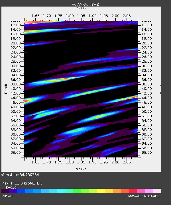
Estimated Moho Depth: 11.0 km
Estimated Crust Vp/Vs: 1.60
Assumed Crust Vp: 6.183 km/s
Estimated Crust Vs: 3.864 km/s
Estimated Crust Poisson's Ratio: 0.18
Radial Match: 86.780754 %
Radial Bump: 400
Transverse Match: 87.63261 %
Transverse Bump: 400
SOD ConfigId: 769524
Insert Time: 2014-08-17 00:42:07.569 +0000
GWidth: 2.5
Max Bumps: 400
Tol: 0.001

Signal To Noise

ChannelStoNSTALTA
AV:AMKA: :BHZ:20140803T00:31:21.900002Z21.2129551.6641391E-67.844918E-8
AV:AMKA: :BHN:20140803T00:31:21.900002Z5.38788944.0864919E-77.5845875E-8
AV:AMKA: :BHE:20140803T00:31:21.900002Z4.0865522.2501949E-75.5063406E-8
Arrivals
Ps1.1 SECOND
PpPs4.4 SECOND
PsPs/PpSs5.5 SECOND