You are here: Home > Network List > US - United States National Seismic Network Stations List
> Station NEW Newport, Washington, USA > Earthquake Result Viewer
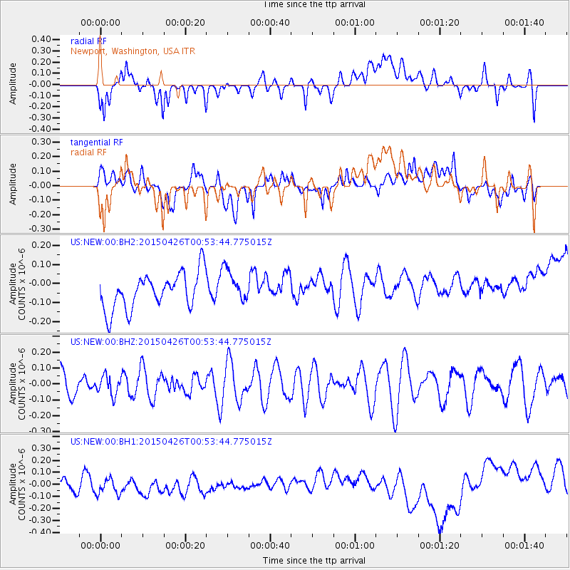
NEW Newport, Washington, USA - Earthquake Result Viewer
*The percent match for this event was below the threshold and hence no stack was calculated.
| Earthquake location: |
South Of Mariana Islands |
| Earthquake latitude/longitude: |
12.8/143.7 |
| Earthquake time(UTC): |
2015/04/26 (116) 00:41:44 GMT |
| Earthquake Depth: |
105 km |
| Earthquake Magnitude: |
4.7 mb, 4.7 mb |
| Earthquake Catalog/Contributor: |
ISC/ISC |
|
| Network: |
US United States National Seismic Network |
| Station: |
NEW Newport, Washington, USA |
| Lat/Lon: |
48.26 N/117.12 W |
| Elevation: |
760 m |
|
| Distance: |
86.6 deg |
| Az: |
41.36 deg |
| Baz: |
285.288 deg |
| Ray Param: |
$rayparam |
*The percent match for this event was below the threshold and hence was not used in the summary stack. |
|
| Radial Match: |
28.433115 % |
| Radial Bump: |
400 |
| Transverse Match: |
33.57519 % |
| Transverse Bump: |
400 |
| SOD ConfigId: |
7422571 |
| Insert Time: |
2019-04-18 12:44:47.341 +0000 |
| GWidth: |
2.5 |
| Max Bumps: |
400 |
| Tol: |
0.001 |
|
Signal To Noise
| Channel | StoN | STA | LTA |
| US:NEW:00:BHZ:20150426T00:53:44.775015Z | 0.56308657 | 6.090448E-8 | 1.0816184E-7 |
| US:NEW:00:BH1:20150426T00:53:44.775015Z | 1.1281055 | 9.258605E-8 | 8.207215E-8 |
| US:NEW:00:BH2:20150426T00:53:44.775015Z | 0.8812994 | 8.316651E-8 | 9.436806E-8 |
| Arrivals |
| Ps | |
| PpPs | |
| PsPs/PpSs | |


