AFI Afiamalu, Western Samoa - Earthquake Result Viewer
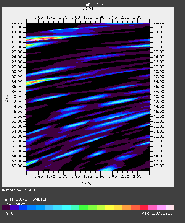
Earthquake location: Eastern New Guinea Reg., P.N.G.
Earthquake latitude/longitude: -5.9/146.0
Earthquake time(UTC): 1993/10/13 (286) 02:06:00 GMT
Earthquake Depth: 24 km
Earthquake Magnitude: 6.4 MB, 7.1 MS, 6.7 UNKNOWN, 7.1 ML
Earthquake Catalog/Contributor: WHDF/NEIC
Network: IU Global Seismograph Network (GSN - IRIS/USGS)
Station: AFI Afiamalu, Western Samoa
Lat/Lon: 13.91 S/171.78 W
Elevation: 706 m
Distance: 42.3 deg
Az: 104.097 deg
Baz: 276.523 deg
Ray Param: 0.073243506
Estimated Moho Depth: 16.75 km
Estimated Crust Vp/Vs: 1.64
Assumed Crust Vp: 4.24 km/s
Estimated Crust Vs: 2.581 km/s
Estimated Crust Poisson's Ratio: 0.21
Radial Match: 87.689255 %
Radial Bump: 400
Transverse Match: 80.3024 %
Transverse Bump: 400
SOD ConfigId: 16938
Insert Time: 2010-03-02 01:43:23.807 +0000
GWidth: 2.5
Max Bumps: 400
Tol: 0.001

Signal To Noise

ChannelStoNSTALTA
IU:AFI: :BHN:19931013T02:13:20.70199Z1.30165861.123955E-68.634791E-7
IU:AFI: :BHE:19931013T02:13:20.70199Z3.2049562.4891892E-67.7666874E-7
IU:AFI: :BHZ:19931013T02:13:20.70199Z2.30680822.8147251E-61.2201816E-6
Arrivals
Ps2.6 SECOND
PpPs10 SECOND
PsPs/PpSs13 SECOND