GUNB GUNB - Earthquake Result Viewer
Earthquake location: Jujuy Province, Argentina
Earthquake latitude/longitude: -23.9/-66.6
Earthquake time(UTC): 2014/09/24 (267) 11:16:12 GMT
Earthquake Depth: 189 km
Earthquake Magnitude: 6.2 MWP, 6.2 MWB, 6.2 MWC
Earthquake Catalog/Contributor: NEIC PDE/NEIC COMCAT
Network: GI Red Sismologica Nacional- Guatemala
Station: GUNB GUNB
Lat/Lon: 14.60 N/90.35 W
Elevation: 2403 m
Distance: 44.7 deg
Az: 326.294 deg
Baz: 148.345 deg
Ray Param: 0.07099905
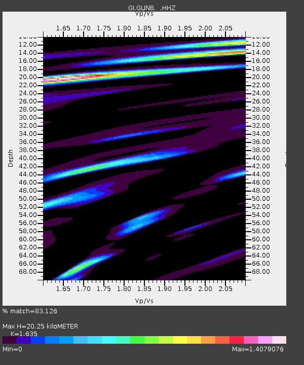
Estimated Moho Depth: 20.25 km
Estimated Crust Vp/Vs: 1.63
Assumed Crust Vp: 6.566 km/s
Estimated Crust Vs: 4.016 km/s
Estimated Crust Poisson's Ratio: 0.20
Radial Match: 83.126 %
Radial Bump: 400
Transverse Match: 77.33025 %
Transverse Bump: 400
SOD ConfigId: 796777
Insert Time: 2014-10-08 11:37:47.422 +0000
GWidth: 2.5
Max Bumps: 400
Tol: 0.001

Signal To Noise

ChannelStoNSTALTA
GI:GUNB: :HHZ:20140924T11:23:36.069996Z21.2630845.474661E-62.5747255E-7
GI:GUNB: :HHN:20140924T11:23:36.069996Z8.9713582.789828E-63.1097053E-7
GI:GUNB: :HHE:20140924T11:23:36.069996Z7.4467942.7759536E-63.7277164E-7
Arrivals
Ps2.1 SECOND
PpPs7.6 SECOND
PsPs/PpSs9.7 SECOND