
GRFO Grafenberg, Germany - Earthquake Result Viewer

| ||||||||||||||||||
| ||||||||||||||||||
| ||||||||||||||||||
|
Signal To Noise
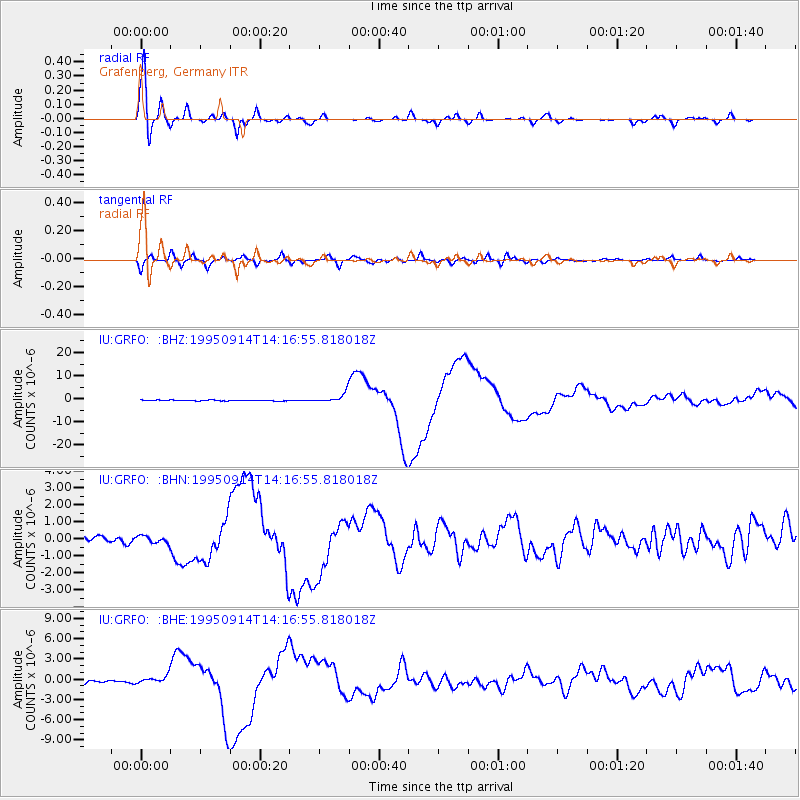
| Channel | StoN | STA | LTA |
| IU:GRFO: :BHN:19950914T14:16:55.818018Z | 0.9773154 | 2.1760043E-7 | 2.2265118E-7 |
| IU:GRFO: :BHE:19950914T14:16:55.818018Z | 3.573212 | 6.260025E-7 | 1.7519321E-7 |
| IU:GRFO: :BHZ:19950914T14:16:55.818018Z | 11.717726 | 2.091376E-6 | 1.7847968E-7 |
| Arrivals | |
| Ps | 3.5 SECOND |
| PpPs | 14 SECOND |
| PsPs/PpSs | 18 SECOND |

