JCJ Chichijima Island - Earthquake Result Viewer
Earthquake location: Fiji Islands Region
Earthquake latitude/longitude: -19.7/-177.7
Earthquake time(UTC): 2014/11/01 (305) 18:57:22 GMT
Earthquake Depth: 434 km
Earthquake Magnitude: 7.1 MWW, 6.9 MI, 7.1 MWC, 7.2 MWB
Earthquake Catalog/Contributor: NEIC PDE/NEIC COMCAT
Network: JP Japan Meteorological Agency Seismic Network
Station: JCJ Chichijima Island
Lat/Lon: 27.10 N/142.18 E
Elevation: 150 m
Distance: 60.6 deg
Az: 318.784 deg
Baz: 135.862 deg
Ray Param: 0.05985025
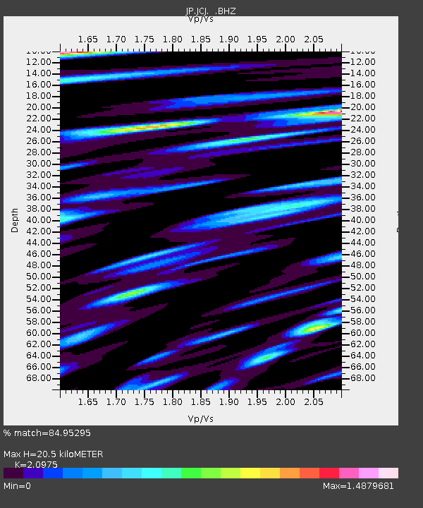
Estimated Moho Depth: 20.5 km
Estimated Crust Vp/Vs: 2.10
Assumed Crust Vp: 4.24 km/s
Estimated Crust Vs: 2.021 km/s
Estimated Crust Poisson's Ratio: 0.35
Radial Match: 84.95295 %
Radial Bump: 400
Transverse Match: 62.422066 %
Transverse Bump: 400
SOD ConfigId: 813215
Insert Time: 2014-11-15 19:21:54.818 +0000
GWidth: 2.5
Max Bumps: 400
Tol: 0.001

Signal To Noise

ChannelStoNSTALTA
JP:JCJ: :BHZ:20141101T19:06:18.650015Z14.1741151.0923147E-57.706405E-7
JP:JCJ: :BHN:20141101T19:06:18.650015Z5.29629663.5814444E-66.762167E-7
JP:JCJ: :BHE:20141101T19:06:18.650015Z5.01087673.9951874E-67.9730313E-7
Arrivals
Ps5.4 SECOND
PpPs15 SECOND
PsPs/PpSs20 SECOND