HHC Huhehaote,Neimeng Province - Earthquake Result Viewer
Earthquake location: Southern Sumatra, Indonesia
Earthquake latitude/longitude: -2.6/102.2
Earthquake time(UTC): 2015/05/15 (135) 20:26:55 GMT
Earthquake Depth: 151 km
Earthquake Magnitude: 6.0 MWW, 6.0 MWB, 6.0 MWC
Earthquake Catalog/Contributor: NEIC PDE/NEIC COMCAT
Network: CB China National Seismic Network
Station: HHC Huhehaote,Neimeng Province
Lat/Lon: 40.85 N/111.56 E
Elevation: 1169 m
Distance: 44.1 deg
Az: 10.259 deg
Baz: 193.564 deg
Ray Param: 0.07157132
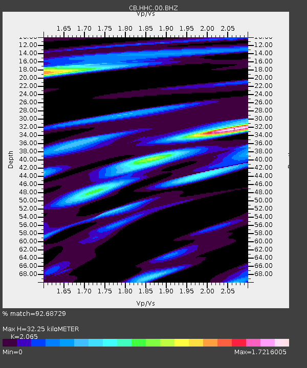
Estimated Moho Depth: 32.25 km
Estimated Crust Vp/Vs: 2.07
Assumed Crust Vp: 6.384 km/s
Estimated Crust Vs: 3.092 km/s
Estimated Crust Poisson's Ratio: 0.35
Radial Match: 92.68729 %
Radial Bump: 329
Transverse Match: 82.61805 %
Transverse Bump: 400
SOD ConfigId: 7422571
Insert Time: 2019-04-18 22:01:21.836 +0000
GWidth: 2.5
Max Bumps: 400
Tol: 0.001

Signal To Noise

ChannelStoNSTALTA
CB:HHC:00:BHZ:20150515T20:34:17.440001Z5.78303435.0193853E-78.679501E-8
CB:HHC:00:BHN:20150515T20:34:17.440001Z2.84695982.5905302E-79.099287E-8
CB:HHC:00:BHE:20150515T20:34:17.440001Z0.99954561.05207604E-71.0525544E-7
Arrivals
Ps5.7 SECOND
PpPs15 SECOND
PsPs/PpSs20 SECOND