PMG Port Moresby, New Guinea - Earthquake Result Viewer
Earthquake location: South Island, New Zealand
Earthquake latitude/longitude: -45.1/167.0
Earthquake time(UTC): 2000/11/01 (306) 10:35:55 GMT
Earthquake Depth: 24 km
Earthquake Magnitude: 5.8 MB, 5.9 MS, 6.3 ML, 6.2 MW
Earthquake Catalog/Contributor: WHDF/NEIC
Network: IU Global Seismograph Network (GSN - IRIS/USGS)
Station: PMG Port Moresby, New Guinea
Lat/Lon: 9.41 S/147.15 E
Elevation: 67 m
Distance: 39.4 deg
Az: 328.163 deg
Baz: 157.739 deg
Ray Param: 0.07494235
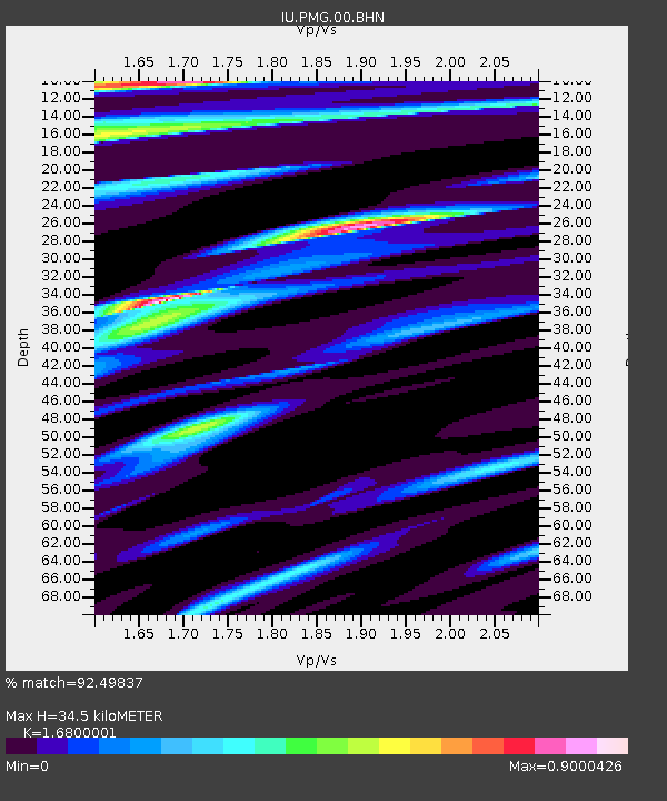
Estimated Moho Depth: 34.5 km
Estimated Crust Vp/Vs: 1.68
Assumed Crust Vp: 6.122 km/s
Estimated Crust Vs: 3.644 km/s
Estimated Crust Poisson's Ratio: 0.23
Radial Match: 92.49837 %
Radial Bump: 400
Transverse Match: 79.91426 %
Transverse Bump: 400
SOD ConfigId: 3744
Insert Time: 2010-03-02 15:16:53.534 +0000
GWidth: 2.5
Max Bumps: 400
Tol: 0.001

Signal To Noise

ChannelStoNSTALTA
IU:PMG:00:BHN:20001101T10:42:52.424989Z0.69194845.1755226E-87.479636E-8
IU:PMG:00:BHE:20001101T10:42:52.424989Z0.801419143.519311E-84.3913488E-8
IU:PMG:00:BHZ:20001101T10:42:52.424989Z2.3461668.0605076E-83.4356084E-8
Arrivals
Ps4.1 SECOND
PpPs14 SECOND
PsPs/PpSs18 SECOND