
XMAS Kiritimati Island, Republic of Kiribati - Earthquake Result Viewer
| ||||||||||||||||||
| ||||||||||||||||||
| ||||||||||||||||||
|
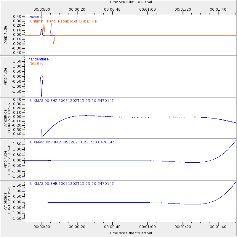
Signal To Noise
| Channel | StoN | STA | LTA |
| IU:XMAS:00:BHN:20051202T13:23:20.647014Z | 0.90990037 | 1.3923464E-7 | 1.5302186E-7 |
| IU:XMAS:00:BHE:20051202T13:23:20.647014Z | 0.9092596 | 1.3919168E-7 | 1.5308244E-7 |
| IU:XMAS:00:BHZ:20051202T13:23:20.647014Z | 0.9096555 | 1.3872018E-7 | 1.5249749E-7 |
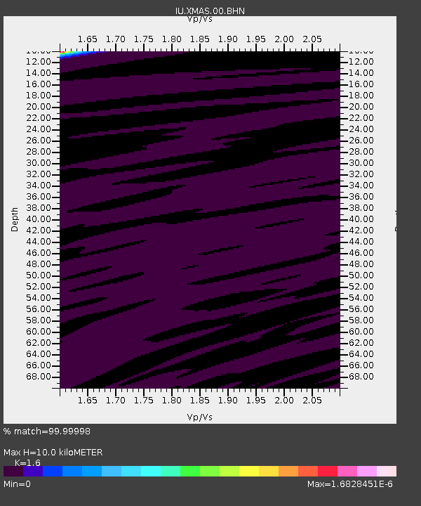
| Arrivals | |
| Ps | 1.3 SECOND |
| PpPs | 5.3 SECOND |
| PsPs/PpSs | 6.6 SECOND |

