XMAS Kiritimati Island, Republic of Kiribati - Earthquake Result Viewer
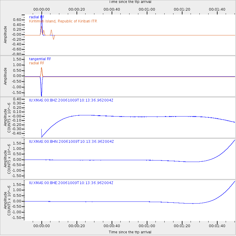
Earthquake location: Philippine Islands Region
Earthquake latitude/longitude: 20.7/120.0
Earthquake time(UTC): 2006/10/09 (282) 10:01:46 GMT
Earthquake Depth: 10 km
Earthquake Magnitude: 6.0 MB, 5.9 MS, 6.3 MW, 6.1 MW
Earthquake Catalog/Contributor: WHDF/NEIC
Network: IU Global Seismograph Network (GSN - IRIS/USGS)
Station: XMAS Kiritimati Island, Republic of Kiribati
Lat/Lon: 2.04 N/157.45 W
Elevation: 2.0 m
Distance: 82.3 deg
Az: 90.712 deg
Baz: 290.441 deg
Ray Param: 0.04698202
Estimated Moho Depth: 10.0 km
Estimated Crust Vp/Vs: 1.60
Assumed Crust Vp: 4.802 km/s
Estimated Crust Vs: 3.001 km/s
Estimated Crust Poisson's Ratio: 0.18
Radial Match: 100.0 %
Radial Bump: 2
Transverse Match: 100.0 %
Transverse Bump: 2
SOD ConfigId: 2665
Insert Time: 2010-03-02 15:47:56.922 +0000
GWidth: 2.5
Max Bumps: 400
Tol: 0.001

Signal To Noise

ChannelStoNSTALTA
IU:XMAS:00:BHN:20061009T10:13:36.962004Z0.911751571.3936797E-71.528574E-7
IU:XMAS:00:BHE:20061009T10:13:36.962004Z0.91115931.3926781E-71.5284684E-7
IU:XMAS:00:BHZ:20061009T10:13:36.962004Z0.911727131.389852E-71.5244167E-7
Arrivals
Ps1.3 SECOND
PpPs5.3 SECOND
PsPs/PpSs6.6 SECOND