CASY Casey, Antarctica - Earthquake Result Viewer
Earthquake location: Southern Sumatra, Indonesia
Earthquake latitude/longitude: -1.5/99.5
Earthquake time(UTC): 2009/08/16 (228) 07:38:21 GMT
Earthquake Depth: 20 km
Earthquake Magnitude: 6.5 MB, 6.7 MS, 6.7 MW, 6.5 MW
Earthquake Catalog/Contributor: WHDF/NEIC
Network: IU Global Seismograph Network (GSN - IRIS/USGS)
Station: CASY Casey, Antarctica
Lat/Lon: 66.28 S/110.54 E
Elevation: 10 m
Distance: 65.1 deg
Az: 175.1 deg
Baz: 347.814 deg
Ray Param: 0.05844488
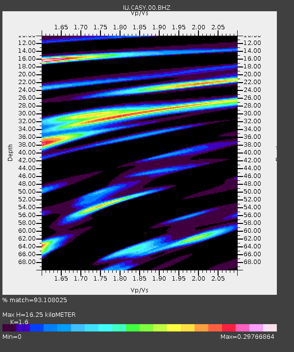
Estimated Moho Depth: 16.25 km
Estimated Crust Vp/Vs: 1.60
Assumed Crust Vp: 6.356 km/s
Estimated Crust Vs: 3.973 km/s
Estimated Crust Poisson's Ratio: 0.18
Radial Match: 93.108025 %
Radial Bump: 400
Transverse Match: 72.651695 %
Transverse Bump: 400
SOD ConfigId: 2622
Insert Time: 2010-03-02 15:54:46.904 +0000
GWidth: 2.5
Max Bumps: 400
Tol: 0.001

Signal To Noise

ChannelStoNSTALTA
IU:CASY:00:BHZ:20090816T07:48:30.035022Z2.81221561.2584774E-64.4750388E-7
IU:CASY:00:BHN:20090816T07:48:30.035022Z3.78101065.800457E-71.5341023E-7
IU:CASY:00:BHE:20090816T07:48:30.035022Z0.458528761.6514272E-73.6015783E-7
Arrivals
Ps1.6 SECOND
PpPs6.4 SECOND
PsPs/PpSs8.0 SECOND