ANTO Ankara, Turkey - Earthquake Result Viewer
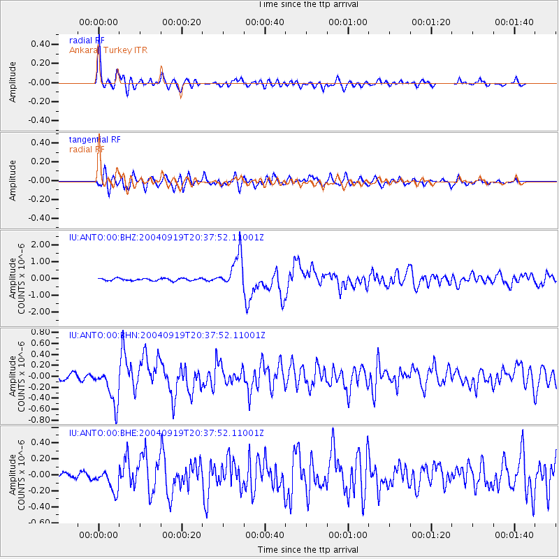
Earthquake location: Near Islands, Aleutian Islands
Earthquake latitude/longitude: 52.2/174.0
Earthquake time(UTC): 2004/09/19 (263) 20:26:04 GMT
Earthquake Depth: 25 km
Earthquake Magnitude: 5.6 MB, 6.0 MS, 6.2 MW, 6.1 MW
Earthquake Catalog/Contributor: WHDF/NEIC
Network: IU Global Seismograph Network (GSN - IRIS/USGS)
Station: ANTO Ankara, Turkey
Lat/Lon: 39.87 N/32.79 E
Elevation: 883 m
Distance: 82.3 deg
Az: 330.903 deg
Baz: 22.882 deg
Ray Param: 0.046954636
Estimated Moho Depth: 34.75 km
Estimated Crust Vp/Vs: 1.78
Assumed Crust Vp: 6.159 km/s
Estimated Crust Vs: 3.465 km/s
Estimated Crust Poisson's Ratio: 0.27
Radial Match: 92.64504 %
Radial Bump: 400
Transverse Match: 87.955505 %
Transverse Bump: 400
SOD ConfigId: 2459
Insert Time: 2010-03-03 13:59:52.998 +0000
GWidth: 2.5
Max Bumps: 400
Tol: 0.001

Signal To Noise

ChannelStoNSTALTA
IU:ANTO:00:BHN:20040919T20:37:52.11001Z5.8804733.455236E-75.875779E-8
IU:ANTO:00:BHE:20040919T20:37:52.11001Z3.43989731.384219E-74.0240128E-8
IU:ANTO:00:BHZ:20040919T20:37:52.11001Z15.3240031.0437853E-66.81144E-8
Arrivals
Ps4.5 SECOND
PpPs15 SECOND
PsPs/PpSs20 SECOND