CTAO Charters Towers, Australia - Earthquake Result Viewer
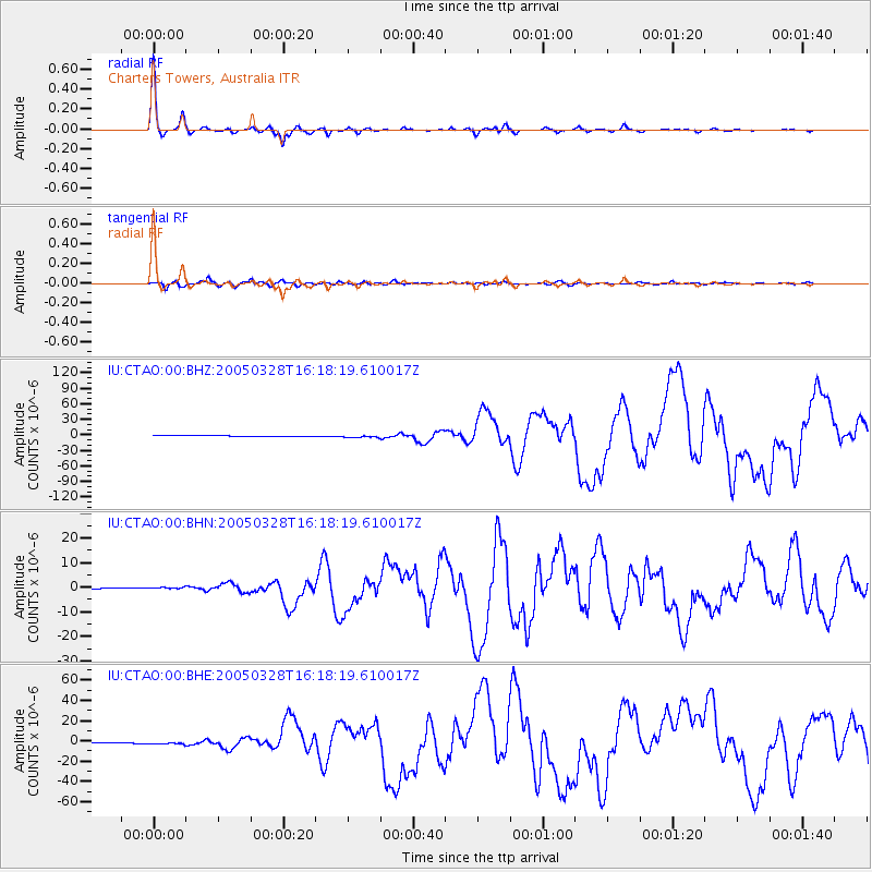
Earthquake location: Northern Sumatra, Indonesia
Earthquake latitude/longitude: 2.1/97.1
Earthquake time(UTC): 2005/03/28 (087) 16:09:36 GMT
Earthquake Depth: 30 km
Earthquake Magnitude: 7.2 MB, 8.4 MS, 8.7 MW, 8.1 MW
Earthquake Catalog/Contributor: WHDF/NEIC
Network: IU Global Seismograph Network (GSN - IRIS/USGS)
Station: CTAO Charters Towers, Australia
Lat/Lon: 20.09 S/146.25 E
Elevation: 357 m
Distance: 53.0 deg
Az: 117.076 deg
Baz: 288.789 deg
Ray Param: 0.06635195
Estimated Moho Depth: 39.0 km
Estimated Crust Vp/Vs: 1.73
Assumed Crust Vp: 6.522 km/s
Estimated Crust Vs: 3.775 km/s
Estimated Crust Poisson's Ratio: 0.25
Radial Match: 99.09105 %
Radial Bump: 256
Transverse Match: 94.88912 %
Transverse Bump: 400
SOD ConfigId: 2459
Insert Time: 2010-03-03 14:15:08.874 +0000
GWidth: 2.5
Max Bumps: 400
Tol: 0.001

Signal To Noise

ChannelStoNSTALTA
IU:CTAO:00:BHN:20050328T16:18:19.610017Z3.91185744.2161332E-71.077783E-7
IU:CTAO:00:BHE:20050328T16:18:19.610017Z4.92668871.3112486E-62.661521E-7
IU:CTAO:00:BHZ:20050328T16:18:19.610017Z4.4180542.1654907E-64.901458E-7
Arrivals
Ps4.6 SECOND
PpPs15 SECOND
PsPs/PpSs20 SECOND