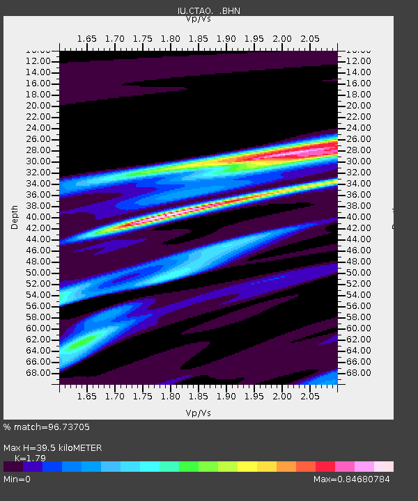
CTAO Charters Towers, Australia - Earthquake Result Viewer

Earthquake location: Minahassa Peninsula, Sulawesi
Earthquake latitude/longitude: 0.7/120.0
Earthquake time(UTC): 1996/01/01 (001) 08:05:11 GMT
Earthquake Depth: 33 km
Earthquake Magnitude: 6.2 MB, 7.7 MS, 7.8 UNKNOWN, 7.8 MW
Earthquake Catalog/Contributor: WHDF/NEIC
Network: IU Global Seismograph Network (GSN - IRIS/USGS)
Station: CTAO Charters Towers, Australia
Lat/Lon: 20.09 S/146.25 E
Elevation: 357 m
Distance: 33.0 deg
Az: 130.232 deg
Baz: 305.69 deg
Ray Param: 0.07834547
Estimated Moho Depth: 39.5 km
Estimated Crust Vp/Vs: 1.79
Assumed Crust Vp: 6.522 km/s
Estimated Crust Vs: 3.643 km/s
Estimated Crust Poisson's Ratio: 0.27
Radial Match: 96.73705 %
Radial Bump: 195
Transverse Match: 82.13851 %
Transverse Bump: 400
SOD ConfigId: 6273
Insert Time: 2010-03-03 14:23:16.340 +0000
GWidth: 2.5
Max Bumps: 400
Tol: 0.001

Signal To Noise

ChannelStoNSTALTA
IU:CTAO: :BHN:19960101T08:11:13.725012Z6.97553353.9445003E-65.654765E-7
IU:CTAO: :BHE:19960101T08:11:13.725012Z6.2769215.425849E-68.644125E-7
IU:CTAO: :BHZ:19960101T08:11:13.725012Z12.0776351.1490725E-59.5140524E-7
Arrivals
Ps5.2 SECOND
PpPs16 SECOND
PsPs/PpSs21 SECOND