
MIDW Midway Island, USA - Earthquake Result Viewer
| ||||||||||||||||||
| ||||||||||||||||||
| ||||||||||||||||||
|
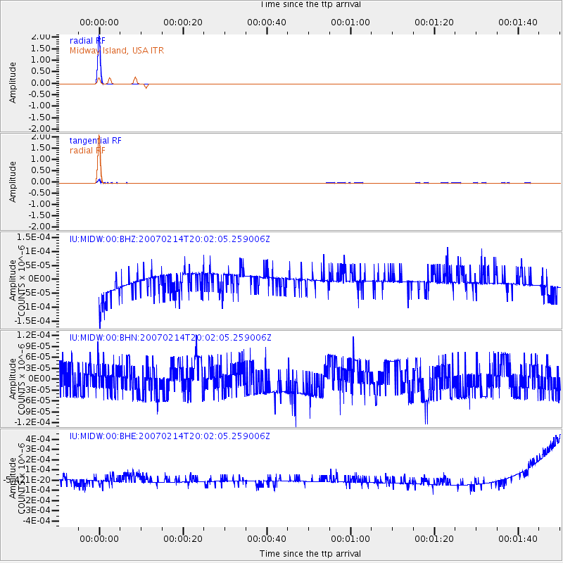
Signal To Noise
| Channel | StoN | STA | LTA |
| IU:MIDW:00:BHN:20070214T20:02:05.259006Z | 0.9186606 | 3.6707398E-11 | 3.9957516E-11 |
| IU:MIDW:00:BHE:20070214T20:02:05.259006Z | 1.1382432 | 4.3571664E-11 | 3.8279747E-11 |
| IU:MIDW:00:BHZ:20070214T20:02:05.259006Z | 1.0694764 | 4.1800407E-11 | 3.9084933E-11 |
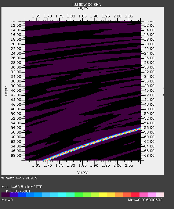
| Arrivals | |
| Ps | 13 SECOND |
| PpPs | 42 SECOND |
| PsPs/PpSs | 55 SECOND |

