UNM Unam,Mexico - Earthquake Result Viewer
Earthquake location: Jujuy Province, Argentina
Earthquake latitude/longitude: -23.1/-66.7
Earthquake time(UTC): 2015/02/11 (042) 18:57:22 GMT
Earthquake Depth: 223 km
Earthquake Magnitude: 6.7 MWW, 6.7 MWC, 6.7 MWB, 6.9 MI
Earthquake Catalog/Contributor: NEIC PDE/NEIC COMCAT
Network: G GEOSCOPE
Station: UNM Unam,Mexico
Lat/Lon: 19.33 N/99.18 W
Elevation: 2280 m
Distance: 52.8 deg
Az: 320.43 deg
Baz: 141.604 deg
Ray Param: 0.065726526
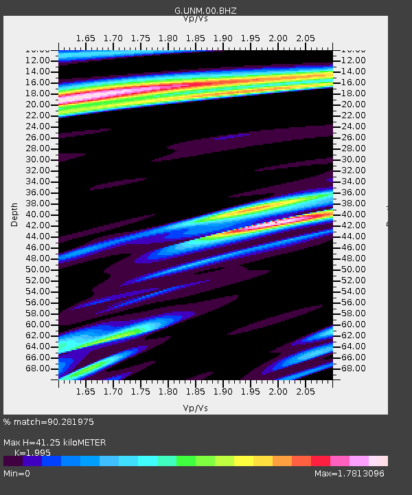
Estimated Moho Depth: 41.25 km
Estimated Crust Vp/Vs: 2.00
Assumed Crust Vp: 6.597 km/s
Estimated Crust Vs: 3.307 km/s
Estimated Crust Poisson's Ratio: 0.33
Radial Match: 90.281975 %
Radial Bump: 400
Transverse Match: 78.53839 %
Transverse Bump: 400
SOD ConfigId: 872571
Insert Time: 2015-02-25 19:01:15.200 +0000
GWidth: 2.5
Max Bumps: 400
Tol: 0.001

Signal To Noise

ChannelStoNSTALTA
G:UNM:00:BHZ:20150211T19:05:43.850005Z5.4981864.3180426E-67.853577E-7
G:UNM:00:BHN:20150211T19:05:43.850005Z1.59934951.4072873E-68.799123E-7
G:UNM:00:BHE:20150211T19:05:43.850005Z1.7681291.2473145E-67.0544314E-7
Arrivals
Ps6.5 SECOND
PpPs18 SECOND
PsPs/PpSs24 SECOND