BILL Bilibino, Russia - Earthquake Result Viewer
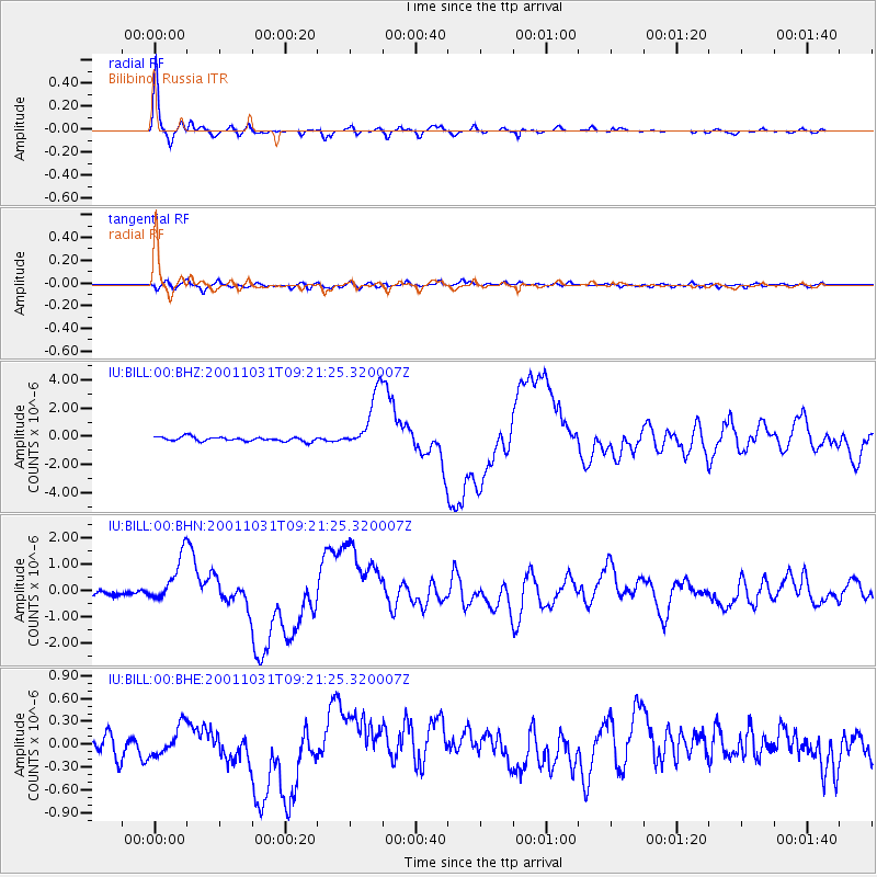
Earthquake location: New Britain Region, P.N.G.
Earthquake latitude/longitude: -5.9/150.2
Earthquake time(UTC): 2001/10/31 (304) 09:10:20 GMT
Earthquake Depth: 33 km
Earthquake Magnitude: 5.9 MB, 6.9 MS, 6.9 MW, 6.9 MW
Earthquake Catalog/Contributor: WHDF/NEIC
Network: IU Global Seismograph Network (GSN - IRIS/USGS)
Station: BILL Bilibino, Russia
Lat/Lon: 68.07 N/166.45 E
Elevation: 299 m
Distance: 74.7 deg
Az: 6.26 deg
Baz: 196.781 deg
Ray Param: 0.05211377
Estimated Moho Depth: 31.5 km
Estimated Crust Vp/Vs: 2.10
Assumed Crust Vp: 6.577 km/s
Estimated Crust Vs: 3.136 km/s
Estimated Crust Poisson's Ratio: 0.35
Radial Match: 96.31821 %
Radial Bump: 316
Transverse Match: 65.7987 %
Transverse Bump: 400
SOD ConfigId: 20082
Insert Time: 2010-03-03 15:23:11.074 +0000
GWidth: 2.5
Max Bumps: 400
Tol: 0.001

Signal To Noise

ChannelStoNSTALTA
IU:BILL:00:BHN:20011031T09:21:25.320007Z7.84276348.842084E-71.1274195E-7
IU:BILL:00:BHE:20011031T09:21:25.320007Z1.56022861.944773E-71.2464666E-7
IU:BILL:00:BHZ:20011031T09:21:25.320007Z13.7773272.0689192E-61.501684E-7
Arrivals
Ps5.4 SECOND
PpPs14 SECOND
PsPs/PpSs20 SECOND