KIEV Kiev, Ukraine - Earthquake Result Viewer
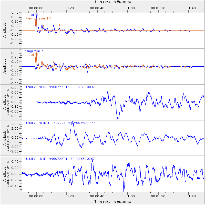
Earthquake location: Minahassa Peninsula, Sulawesi
Earthquake latitude/longitude: 1.0/120.4
Earthquake time(UTC): 1996/07/22 (204) 14:19:35 GMT
Earthquake Depth: 33 km
Earthquake Magnitude: 6.0 MB, 6.9 MS, 7.0 UNKNOWN, 6.9 MW
Earthquake Catalog/Contributor: WHDF/NEIC
Network: IU Global Seismograph Network (GSN - IRIS/USGS)
Station: KIEV Kiev, Ukraine
Lat/Lon: 50.69 N/29.21 E
Elevation: 163 m
Distance: 90.0 deg
Az: 320.517 deg
Baz: 88.41 deg
Ray Param: 0.041698992
Estimated Moho Depth: 35.0 km
Estimated Crust Vp/Vs: 1.93
Assumed Crust Vp: 6.552 km/s
Estimated Crust Vs: 3.395 km/s
Estimated Crust Poisson's Ratio: 0.32
Radial Match: 96.55021 %
Radial Bump: 400
Transverse Match: 91.28397 %
Transverse Bump: 400
SOD ConfigId: 4480
Insert Time: 2010-03-03 15:43:23.962 +0000
GWidth: 2.5
Max Bumps: 400
Tol: 0.001

Signal To Noise

ChannelStoNSTALTA
IU:KIEV: :BHN:19960722T14:32:00.652026Z2.4281451.0081382E-74.1518867E-8
IU:KIEV: :BHE:19960722T14:32:00.652026Z0.81433493.0204447E-83.709094E-8
IU:KIEV: :BHZ:19960722T14:32:00.653003Z1.19104784.5422915E-83.8136935E-8
Arrivals
Ps5.1 SECOND
PpPs15 SECOND
PsPs/PpSs20 SECOND