H24K Noodor Dome, AK, USA - Earthquake Result Viewer
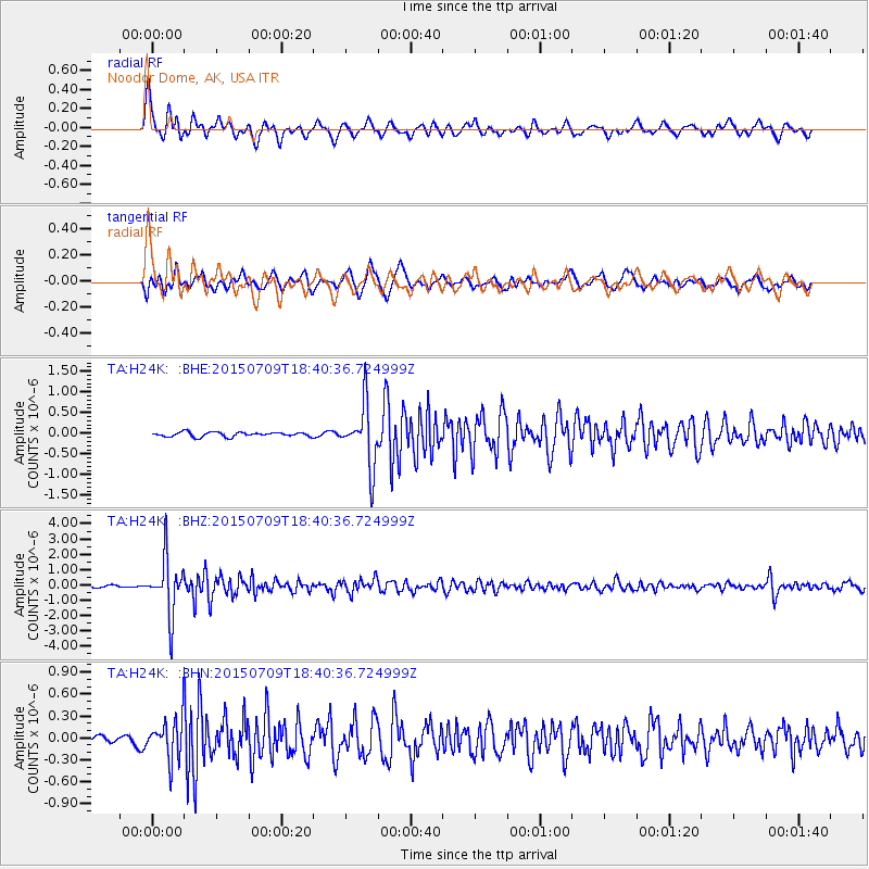
Earthquake location: Near East Coast Of Honshu, Japan
Earthquake latitude/longitude: 40.4/141.5
Earthquake time(UTC): 2015/07/09 (190) 18:32:51 GMT
Earthquake Depth: 79 km
Earthquake Magnitude: 5.6 MWB, 5.5 MWW, 5.6 MWR, 5.6 MWC
Earthquake Catalog/Contributor: NEIC PDE/NEIC COMCAT
Network: TA USArray Transportable Network (new EarthScope stations)
Station: H24K Noodor Dome, AK, USA
Lat/Lon: 65.84 N/147.88 W
Elevation: 814 m
Distance: 46.2 deg
Az: 32.554 deg
Baz: 272.759 deg
Ray Param: 0.07055021
Estimated Moho Depth: 28.0 km
Estimated Crust Vp/Vs: 1.73
Assumed Crust Vp: 6.566 km/s
Estimated Crust Vs: 3.806 km/s
Estimated Crust Poisson's Ratio: 0.25
Radial Match: 87.940285 %
Radial Bump: 400
Transverse Match: 77.10668 %
Transverse Bump: 400
SOD ConfigId: 7422571
Insert Time: 2019-04-19 18:08:33.634 +0000
GWidth: 2.5
Max Bumps: 400
Tol: 0.001

Signal To Noise

ChannelStoNSTALTA
TA:H24K: :BHZ:20150709T18:40:36.724999Z21.4605731.8050272E-68.410899E-8
TA:H24K: :BHN:20150709T18:40:36.724999Z4.28579243.0140802E-77.032726E-8
TA:H24K: :BHE:20150709T18:40:36.724999Z13.3341297.445192E-75.5835606E-8
Arrivals
Ps3.3 SECOND
PpPs11 SECOND
PsPs/PpSs14 SECOND