FURI Mt. Furi, Ethiopia - Earthquake Result Viewer
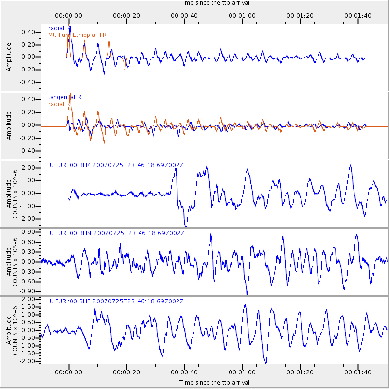
Earthquake location: Nicobar Islands, India Region
Earthquake latitude/longitude: 7.2/92.5
Earthquake time(UTC): 2007/07/25 (206) 23:37:31 GMT
Earthquake Depth: 15 km
Earthquake Magnitude: 5.5 MB, 6.1 MS, 6.1 MW, 6.0 MW
Earthquake Catalog/Contributor: WHDF/NEIC
Network: IU Global Seismograph Network (GSN - IRIS/USGS)
Station: FURI Mt. Furi, Ethiopia
Lat/Lon: 8.90 N/38.68 E
Elevation: 2570 m
Distance: 53.3 deg
Az: 275.746 deg
Baz: 87.688 deg
Ray Param: 0.06617844
Estimated Moho Depth: 34.0 km
Estimated Crust Vp/Vs: 1.99
Assumed Crust Vp: 6.464 km/s
Estimated Crust Vs: 3.248 km/s
Estimated Crust Poisson's Ratio: 0.33
Radial Match: 90.28673 %
Radial Bump: 400
Transverse Match: 76.79 %
Transverse Bump: 400
SOD ConfigId: 2564
Insert Time: 2010-03-03 16:25:00.842 +0000
GWidth: 2.5
Max Bumps: 400
Tol: 0.001

Signal To Noise

ChannelStoNSTALTA
IU:FURI:00:BHN:20070725T23:46:18.697002Z2.6671842.1193871E-77.94616E-8
IU:FURI:00:BHE:20070725T23:46:18.697002Z0.828417661.2364558E-71.4925513E-7
IU:FURI:00:BHZ:20070725T23:46:18.697002Z0.638892238.110105E-81.2694011E-7
Arrivals
Ps5.5 SECOND
PpPs15 SECOND
PsPs/PpSs20 SECOND