KIP Kipapa, Hawaii, USA - Earthquake Result Viewer
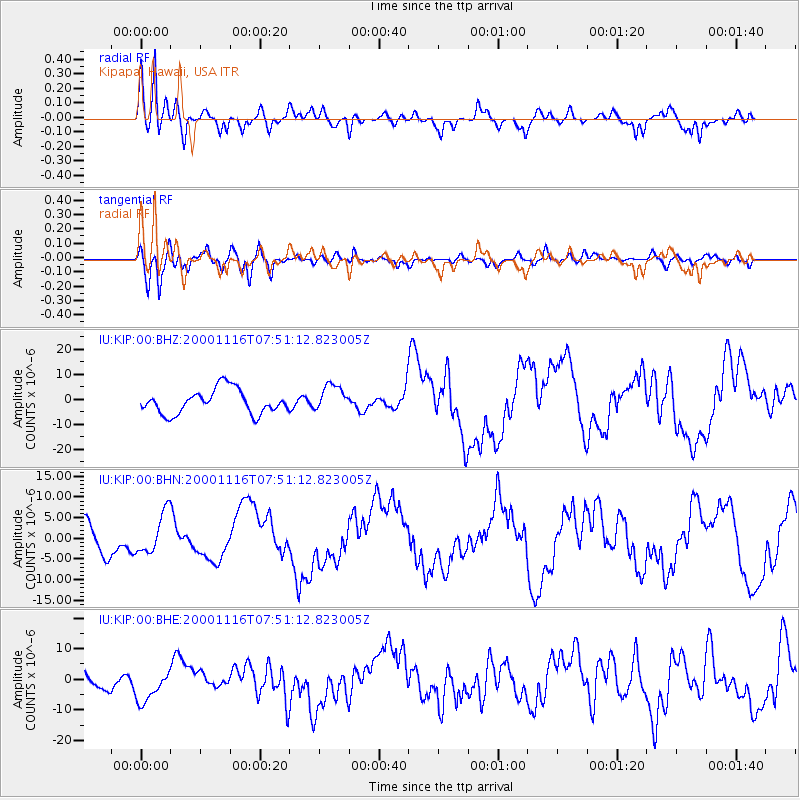
Earthquake location: New Ireland Region, P.N.G.
Earthquake latitude/longitude: -5.2/153.1
Earthquake time(UTC): 2000/11/16 (321) 07:42:16 GMT
Earthquake Depth: 30 km
Earthquake Magnitude: 6.2 MB, 7.8 MS, 7.6 MW, 7.3 ME
Earthquake Catalog/Contributor: WHDF/NEIC
Network: IU Global Seismograph Network (GSN - IRIS/USGS)
Station: KIP Kipapa, Hawaii, USA
Lat/Lon: 21.42 N/158.01 W
Elevation: 70 m
Distance: 54.7 deg
Az: 59.278 deg
Baz: 246.757 deg
Ray Param: 0.06520486
Estimated Moho Depth: 18.0 km
Estimated Crust Vp/Vs: 1.60
Assumed Crust Vp: 4.24 km/s
Estimated Crust Vs: 2.65 km/s
Estimated Crust Poisson's Ratio: 0.18
Radial Match: 82.740814 %
Radial Bump: 400
Transverse Match: 69.4295 %
Transverse Bump: 400
SOD ConfigId: 3744
Insert Time: 2010-03-03 16:37:22.923 +0000
GWidth: 2.5
Max Bumps: 400
Tol: 0.001

Signal To Noise

ChannelStoNSTALTA
IU:KIP:00:BHN:20001116T07:51:12.823005Z1.09863025.1086145E-64.6499854E-6
IU:KIP:00:BHE:20001116T07:51:12.823005Z1.35303935.7450984E-64.2460692E-6
IU:KIP:00:BHZ:20001116T07:51:12.823005Z1.11388235.3600384E-64.812033E-6
Arrivals
Ps2.6 SECOND
PpPs11 SECOND
PsPs/PpSs13 SECOND