PAB San Pablo, Spain - Earthquake Result Viewer
Earthquake location: North Of Ascension Island
Earthquake latitude/longitude: -1.5/-15.2
Earthquake time(UTC): 1996/02/16 (047) 09:44:58 GMT
Earthquake Depth: 10 km
Earthquake Magnitude: 6.0 MB, 6.3 MS, 6.5 UNKNOWN, 6.4 MW
Earthquake Catalog/Contributor: WHDF/NEIC
Network: IU Global Seismograph Network (GSN - IRIS/USGS)
Station: PAB San Pablo, Spain
Lat/Lon: 39.55 N/4.35 W
Elevation: 925 m
Distance: 42.1 deg
Az: 12.573 deg
Baz: 196.346 deg
Ray Param: 0.07338856
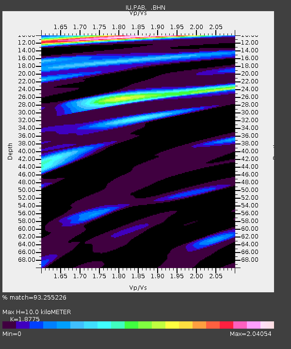
Estimated Moho Depth: 10.0 km
Estimated Crust Vp/Vs: 1.88
Assumed Crust Vp: 6.276 km/s
Estimated Crust Vs: 3.343 km/s
Estimated Crust Poisson's Ratio: 0.30
Radial Match: 93.255226 %
Radial Bump: 400
Transverse Match: 54.73192 %
Transverse Bump: 377
SOD ConfigId: 6273
Insert Time: 2010-03-04 14:37:36.391 +0000
GWidth: 2.5
Max Bumps: 400
Tol: 0.001

Signal To Noise

ChannelStoNSTALTA
IU:PAB: :BHN:19960216T09:52:19.118005Z1.56369595.1684464E-73.3052757E-7
IU:PAB: :BHE:19960216T09:52:19.118005Z1.3272433.8447283E-72.896778E-7
IU:PAB: :BHZ:19960216T09:52:19.118005Z4.2746889.845728E-72.3032625E-7
Arrivals
Ps1.5 SECOND
PpPs4.3 SECOND
PsPs/PpSs5.8 SECOND