PAB San Pablo, Spain - Earthquake Result Viewer
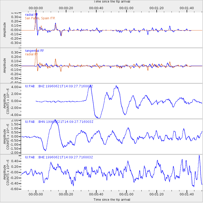
Earthquake location: Off East Coast Of Kamchatka
Earthquake latitude/longitude: 51.6/159.1
Earthquake time(UTC): 1996/06/21 (173) 13:57:10 GMT
Earthquake Depth: 20 km
Earthquake Magnitude: 6.0 MB, 6.6 MS, 7.0 UNKNOWN, 6.5 MS
Earthquake Catalog/Contributor: WHDF/NEIC
Network: IU Global Seismograph Network (GSN - IRIS/USGS)
Station: PAB San Pablo, Spain
Lat/Lon: 39.55 N/4.35 W
Elevation: 925 m
Distance: 88.1 deg
Az: 347.282 deg
Baz: 10.236 deg
Ray Param: 0.04280645
Estimated Moho Depth: 30.25 km
Estimated Crust Vp/Vs: 1.77
Assumed Crust Vp: 6.276 km/s
Estimated Crust Vs: 3.536 km/s
Estimated Crust Poisson's Ratio: 0.27
Radial Match: 96.92337 %
Radial Bump: 400
Transverse Match: 65.71777 %
Transverse Bump: 400
SOD ConfigId: 6273
Insert Time: 2010-03-04 14:37:44.817 +0000
GWidth: 2.5
Max Bumps: 400
Tol: 0.001

Signal To Noise

ChannelStoNSTALTA
IU:PAB: :BHN:19960621T14:09:27.716003Z8.5192113.7361025E-74.385503E-8
IU:PAB: :BHE:19960621T14:09:27.716003Z1.15066466.6437856E-85.7738685E-8
IU:PAB: :BHZ:19960621T14:09:27.716003Z12.4971011.0973423E-68.7807756E-8
Arrivals
Ps3.8 SECOND
PpPs13 SECOND
PsPs/PpSs17 SECOND