TSUM Tsumeb, Namibia - Earthquake Result Viewer
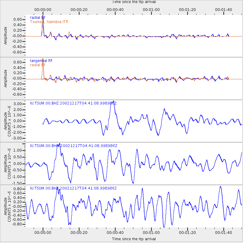
Earthquake location: South Sandwich Islands Region
Earthquake latitude/longitude: -57.0/-24.8
Earthquake time(UTC): 2002/12/17 (351) 04:32:53 GMT
Earthquake Depth: 10 km
Earthquake Magnitude: 5.4 MB, 6.3 MS, 6.2 MW, 6.0 MW
Earthquake Catalog/Contributor: WHDF/NEIC
Network: IU Global Seismograph Network (GSN - IRIS/USGS)
Station: TSUM Tsumeb, Namibia
Lat/Lon: 19.20 S/17.58 E
Elevation: 1240 m
Distance: 49.0 deg
Az: 57.593 deg
Baz: 209.307 deg
Ray Param: 0.068974055
Estimated Moho Depth: 39.75 km
Estimated Crust Vp/Vs: 1.60
Assumed Crust Vp: 6.51 km/s
Estimated Crust Vs: 4.063 km/s
Estimated Crust Poisson's Ratio: 0.18
Radial Match: 88.836555 %
Radial Bump: 341
Transverse Match: 67.48259 %
Transverse Bump: 400
SOD ConfigId: 4714
Insert Time: 2010-03-04 15:31:51.166 +0000
GWidth: 2.5
Max Bumps: 400
Tol: 0.001

Signal To Noise

ChannelStoNSTALTA
IU:TSUM:00:BHN:20021217T04:41:08.998986Z4.2717656.36644E-71.4903534E-7
IU:TSUM:00:BHE:20021217T04:41:08.998986Z1.78352213.6541576E-72.0488434E-7
IU:TSUM:00:BHZ:20021217T04:41:08.998986Z4.9894371.1608837E-62.3266826E-7
Arrivals
Ps3.9 SECOND
PpPs15 SECOND
PsPs/PpSs19 SECOND