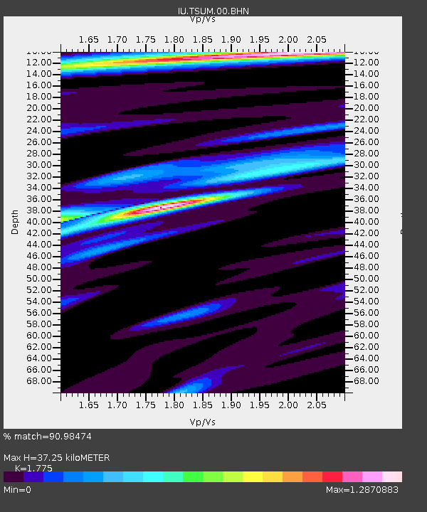
TSUM Tsumeb, Namibia - Earthquake Result Viewer

Earthquake location: Southern Sumatra, Indonesia
Earthquake latitude/longitude: -1.6/99.6
Earthquake time(UTC): 2005/04/10 (100) 10:29:11 GMT
Earthquake Depth: 19 km
Earthquake Magnitude: 6.4 MB, 6.7 MS, 6.7 MW, 6.6 MW
Earthquake Catalog/Contributor: WHDF/NEIC
Network: IU Global Seismograph Network (GSN - IRIS/USGS)
Station: TSUM Tsumeb, Namibia
Lat/Lon: 19.20 S/17.58 E
Elevation: 1240 m
Distance: 81.9 deg
Az: 250.956 deg
Baz: 88.934 deg
Ray Param: 0.047225684
Estimated Moho Depth: 37.25 km
Estimated Crust Vp/Vs: 1.77
Assumed Crust Vp: 6.51 km/s
Estimated Crust Vs: 3.668 km/s
Estimated Crust Poisson's Ratio: 0.27
Radial Match: 90.98474 %
Radial Bump: 360
Transverse Match: 66.21448 %
Transverse Bump: 400
SOD ConfigId: 2459
Insert Time: 2010-03-04 15:33:45.771 +0000
GWidth: 2.5
Max Bumps: 400
Tol: 0.001

Signal To Noise

ChannelStoNSTALTA
IU:TSUM:00:BHN:20050410T10:40:58.147004Z0.932149051.983171E-72.1275255E-7
IU:TSUM:00:BHE:20050410T10:40:58.147004Z2.16002734.668752E-72.161432E-7
IU:TSUM:00:BHZ:20050410T10:40:58.147004Z7.778391.4186053E-61.8237776E-7
Arrivals
Ps4.6 SECOND
PpPs15 SECOND
PsPs/PpSs20 SECOND