CCM Cathedral Cave, Missouri, USA - Earthquake Result Viewer
Earthquake location: Rat Islands, Aleutian Islands
Earthquake latitude/longitude: 51.4/176.8
Earthquake time(UTC): 2003/06/23 (174) 12:12:34 GMT
Earthquake Depth: 20 km
Earthquake Magnitude: 6.3 MB, 7.0 MS, 6.9 MW, 6.8 MW
Earthquake Catalog/Contributor: WHDF/NEIC
Network: IU Global Seismograph Network (GSN - IRIS/USGS)
Station: CCM Cathedral Cave, Missouri, USA
Lat/Lon: 38.06 N/91.24 W
Elevation: 222 m
Distance: 62.5 deg
Az: 62.803 deg
Baz: 315.153 deg
Ray Param: 0.060162533
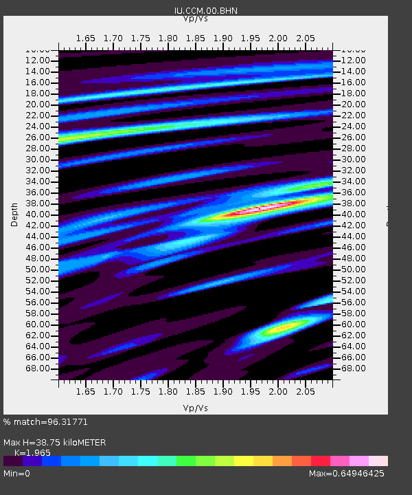
Estimated Moho Depth: 38.75 km
Estimated Crust Vp/Vs: 1.97
Assumed Crust Vp: 6.498 km/s
Estimated Crust Vs: 3.307 km/s
Estimated Crust Poisson's Ratio: 0.33
Radial Match: 96.31771 %
Radial Bump: 251
Transverse Match: 86.10243 %
Transverse Bump: 400
SOD ConfigId: 87546
Insert Time: 2010-03-04 15:38:41.033 +0000
GWidth: 2.5
Max Bumps: 400
Tol: 0.001

Signal To Noise

ChannelStoNSTALTA
IU:CCM:00:BHN:20030623T12:22:25.436003Z4.5654923.7014985E-78.107556E-8
IU:CCM:00:BHE:20030623T12:22:25.436003Z6.4532473.7936363E-75.8786473E-8
IU:CCM:00:BHZ:20030623T12:22:25.436003Z10.8400859.989952E-79.215751E-8
Arrivals
Ps6.0 SECOND
PpPs17 SECOND
PsPs/PpSs23 SECOND