KONO Kongsberg, Norway - Earthquake Result Viewer
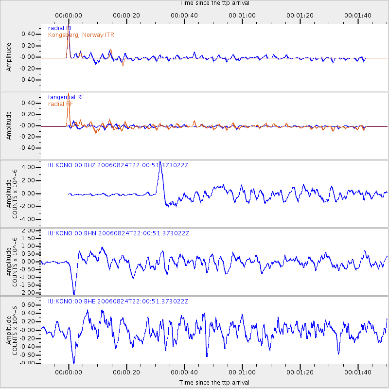
Earthquake location: Near East Coast Of Kamchatka
Earthquake latitude/longitude: 51.1/157.5
Earthquake time(UTC): 2006/08/24 (236) 21:50:36 GMT
Earthquake Depth: 43 km
Earthquake Magnitude: 5.9 MB, 6.2 MS, 6.5 MW, 6.5 MW
Earthquake Catalog/Contributor: WHDF/NEIC
Network: IU Global Seismograph Network (GSN - IRIS/USGS)
Station: KONO Kongsberg, Norway
Lat/Lon: 59.65 N/9.60 E
Elevation: 216 m
Distance: 66.5 deg
Az: 342.904 deg
Baz: 21.384 deg
Ray Param: 0.05746431
Estimated Moho Depth: 35.75 km
Estimated Crust Vp/Vs: 1.73
Assumed Crust Vp: 6.545 km/s
Estimated Crust Vs: 3.783 km/s
Estimated Crust Poisson's Ratio: 0.25
Radial Match: 94.740776 %
Radial Bump: 400
Transverse Match: 81.06957 %
Transverse Bump: 400
SOD ConfigId: 2564
Insert Time: 2010-03-04 15:56:19.518 +0000
GWidth: 2.5
Max Bumps: 400
Tol: 0.001

Signal To Noise

ChannelStoNSTALTA
IU:KONO:00:BHN:20060824T22:00:51.373022Z18.2902859.380162E-75.1284943E-8
IU:KONO:00:BHE:20060824T22:00:51.373022Z4.99983743.41998E-76.8401825E-8
IU:KONO:00:BHZ:20060824T22:00:51.373022Z24.5764582.3008358E-69.3619505E-8
Arrivals
Ps4.2 SECOND
PpPs14 SECOND
PsPs/PpSs18 SECOND