
MAJO Matsushiro, Japan - Earthquake Result Viewer

| ||||||||||||||||||
| ||||||||||||||||||
| ||||||||||||||||||
|
Signal To Noise
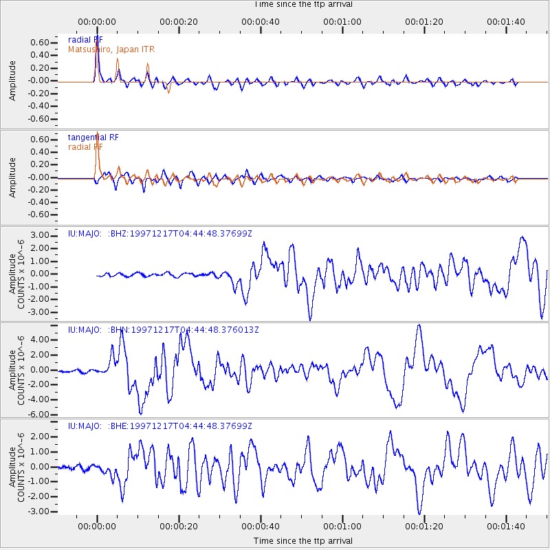
| Channel | StoN | STA | LTA |
| IU:MAJO: :BHN:19971217T04:44:48.376013Z | 12.43008 | 1.2513826E-6 | 1.0067374E-7 |
| IU:MAJO: :BHE:19971217T04:44:48.37699Z | 3.4023154 | 3.8967147E-7 | 1.1453127E-7 |
| IU:MAJO: :BHZ:19971217T04:44:48.37699Z | 4.4792237 | 5.4192975E-7 | 1.2098744E-7 |
| Arrivals | |
| Ps | 4.6 SECOND |
| PpPs | 12 SECOND |
| PsPs/PpSs | 17 SECOND |

