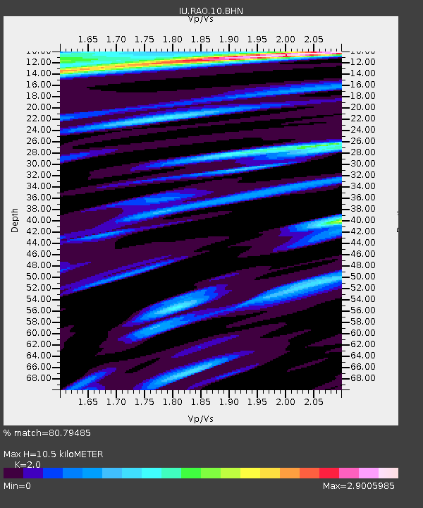
RAO Raoul, Kermadec Islands - Earthquake Result Viewer

Earthquake location: New Britain Region, P.N.G.
Earthquake latitude/longitude: -5.4/151.8
Earthquake time(UTC): 2005/09/29 (272) 15:50:24 GMT
Earthquake Depth: 25 km
Earthquake Magnitude: 5.9 MB, 6.6 MS, 6.7 MW, 6.5 MW
Earthquake Catalog/Contributor: WHDF/NEIC
Network: IU Global Seismograph Network (GSN - IRIS/USGS)
Station: RAO Raoul, Kermadec Islands
Lat/Lon: 29.25 S/177.92 W
Elevation: 110 m
Distance: 37.1 deg
Az: 133.174 deg
Baz: 303.816 deg
Ray Param: 0.07626972
Estimated Moho Depth: 10.5 km
Estimated Crust Vp/Vs: 2.00
Assumed Crust Vp: 4.802 km/s
Estimated Crust Vs: 2.401 km/s
Estimated Crust Poisson's Ratio: 0.33
Radial Match: 80.79485 %
Radial Bump: 400
Transverse Match: 81.30993 %
Transverse Bump: 400
SOD ConfigId: 2475
Insert Time: 2010-03-04 20:02:56.889 +0000
GWidth: 2.5
Max Bumps: 400
Tol: 0.001

Signal To Noise

ChannelStoNSTALTA
IU:RAO:10:BHN:20050929T15:57:01.846986Z1.57683993.515939E-62.2297374E-6
IU:RAO:10:BHE:20050929T15:57:01.846986Z1.21554184.5752786E-63.763983E-6
IU:RAO:10:BHZ:20050929T15:57:01.846986Z3.02546293.8620105E-61.2765024E-6
Arrivals
Ps2.3 SECOND
PpPs6.3 SECOND
PsPs/PpSs8.6 SECOND