
Station XZ S03 - Queiroon
Network: XZ03 - DHOFAR Seismic Experiment
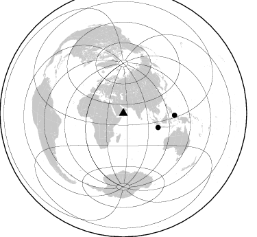
Nearby stations (2 deg radius)

| Station | Name | (Lat, Lon) | Start / End | Elevation |
| S03 | Queiroon | (17.25, 54.08) | 2003-03-20 / 2004-03-20 | 894 m |
| Crust2 Type: | S1,continental slope, margin, transition 1 km seds. |
| Thickness Estimate: | 40 km |
| Thickness StdDev: | 12 km |
| Vp/Vs Estimate: | 1.62 |
| Vp/Vs StdDev: | 0.11 |
| Vs Estimate: | 3.816 km/s |
| Poisson's Ratio: | 0.19 |
| Peak Value: | 0.02 |
| Assumed Vp: | 6.183 km/s |
| Ps Weight: | 0.33333334 |
| PpPs Weight: | 0.33333334 |
| PsPs Weight: | 0.33333328 |
| Residual Complexity: | 0.667 |
| Nearby stations H: | +- |
| (2.0 deg) Vp/Vs: | +- |
1 with match > 90% ( 16.666666 %) and 2 with match > 80% ( 33.333332 %) out of 6.
Download stack as xyz text file.
Azimuth Distribution of Events:
Prior Results for this Station
| Study | Thickness | Vp/Vs | Vp | Vs | Poissons Ratio | Extra |
| EARS | 40 km | 1.62 | 6.183 km/s | 3.816 km/s | 0.19 | |
| Crust2.0 | 23 km | 1.81 | 6.183 km/s | 3.422 km/s | 0.28 | S1,continental slope, margin, transition 1 km seds. |
| Global Maxima | 40 km | 1.62 | 6.183 km/s | 3.816 km/s | 0.19 | amp=0.01927823 |
| Local Maxima 1 | 70 km | 1.89 | 6.183 km/s | 3.276 km/s | 0.30 | amp=0.015572914 |
| Local Maxima 2 | 70 km | 1.85 | 6.183 km/s | 3.337 km/s | 0.29 | amp=0.010251531 |
| Local Maxima 3 | 34 km | 1.67 | 6.183 km/s | 3.697 km/s | 0.22 | amp=0.007133513 |
| Local Maxima 4 | 34 km | 1.78 | 6.183 km/s | 3.473 km/s | 0.27 | amp=0.0059412178 |
| Predicted Arrivals for vertical incidence (zero ray parameter) | |
| Ps | 3.99 SECOND |
| PpPs | 16.84 SECOND |
| PsPs/PpSs | 20.83 SECOND |
Events Processed for this Station
Download zip of receiver functions as SAC
Plot maxima for each earthquake.
Events Used in the Stack
(2 events)| Radial Match | Distance | Baz | FERegion | Time | Lat/Lon | Depth | Magnitude |
| 93.2485 | 74.8 deg | 92.279 deg | Halmahera, Indonesia | 2003/05/26 19:23:27 GMT | (2.4, 128.9) | 31 km | 6.5 MB, 7.1 MS, 7.0 MW, 6.8 MW |
| 82.835175 | 54.6 deg | 112.015 deg | Southwest Of Sumatra, Indonesia | 2003/04/29 10:44:36 GMT | (-7.0, 103.7) | 10 km | 5.6 MB, 5.7 MS, 5.8 MW, 5.7 MW |
Losers
(4 events)| Radial Match | Distance | Baz | FERegion | Time | Lat/Lon | Depth | Magnitude | Reason |
| 76.59447 | 74.0 deg | 94.851 deg | Halmahera, Indonesia | 2003/05/05 15:50:08 GMT | (0.2, 127.4) | 124 km | 5.9 MB, 6.4 MW, 6.4 MW | |
| 68.01386 | 84.4 deg | 207.678 deg | Bouvet Island Region | 2003/04/17 14:50:48 GMT | (-54.6, 1.4) | 10 km | 5.5 MB, 6.0 MS, 6.5 MW, 6.5 MW | |
| 61.29954 | 77.1 deg | 53.576 deg | Eastern Honshu, Japan | 2003/07/25 22:13:29 GMT | (38.4, 141.0) | 6.0 km | 6.0 MB, 5.8 MS, 6.1 MW, 5.9 MW | |
| 54.28103 | 68.1 deg | 92.044 deg | Celebes Sea | 2003/07/01 05:52:25 GMT | (4.5, 122.5) | 635 km | 5.8 MB, 6.0 MW, 6.0 MW |
