KUL Kula - Earthquake Result Viewer
Earthquake location: Rat Islands, Aleutian Islands
Earthquake latitude/longitude: 51.3/178.0
Earthquake time(UTC): 2003/03/17 (076) 16:36:17 GMT
Earthquake Depth: 33 km
Earthquake Magnitude: 5.9 MB, 6.7 MS, 7.0 MW, 7.0 MW
Earthquake Catalog/Contributor: WHDF/NEIC
Network: XH Western Anatolia Linear Array and Regional Network
Station: KUL Kula
Lat/Lon: 38.54 N/28.63 E
Elevation: 700 m
Distance: 86.6 deg
Az: 336.387 deg
Baz: 18.715 deg
Ray Param: 0.043879114
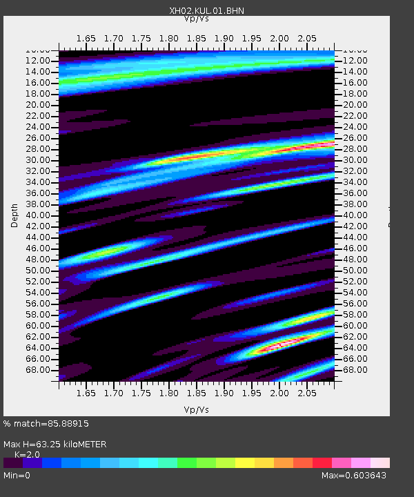
Estimated Moho Depth: 63.25 km
Estimated Crust Vp/Vs: 2.00
Assumed Crust Vp: 6.291 km/s
Estimated Crust Vs: 3.146 km/s
Estimated Crust Poisson's Ratio: 0.33
Radial Match: 85.88915 %
Radial Bump: 400
Transverse Match: 75.27795 %
Transverse Bump: 400
SOD ConfigId: 16820
Insert Time: 2010-03-09 08:25:03.046 +0000
GWidth: 2.5
Max Bumps: 400
Tol: 0.001

Signal To Noise

ChannelStoNSTALTA
XH:KUL:01:BHN:20030317T16:48:26.156008Z1.35468738.7166626E-76.434446E-7
XH:KUL:01:BHE:20030317T16:48:26.156008Z1.33550087.1271006E-75.33665E-7
XH:KUL:01:BHZ:20030317T16:48:26.156008Z6.38449053.0152778E-64.7228167E-7
Arrivals
Ps10 SECOND
PpPs30 SECOND
PsPs/PpSs40 SECOND